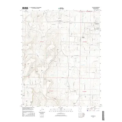
2017 Map of Gaither
USGS Topo · Published 2017About this map
Gaither Mtn and the surrounding high ridges of Boone County dominate this 2017 landscape, where traditional Ozark settlements like Capps, Grubb Springs, and Gaither are connected by a network of rural routes. The map detail reflects a deeply settled interior with a significant concentration of family and community burial grounds, including Gaither Cem, Rogers Cem, and Wagley Cem. These sites, along with named points such as Newberry Point and Cone Point, provide valuable waypoints for genealogists tracing ancestral homesteads in the rugged terrain between the western and southern forks of the local creek systems. A complex drainage pattern is visible through Terrapin Cr and the W Fork Crooked Cr, illustrating how the topography shaped the placement of roads like Valley View Church Rd and Fowler Dairy Rd S.
Find a feature on this map
123 named features on this map. Tap any name to fly to it.
Don’t see what you’re looking for? This feature index may not catch every label — zoom into the map to look around manually.
Map Details
Editions of this 2017 Gaither Map
This is the sole edition of this map. No revisions or reprints were ever made.
Other maps of this area

1904 · Harrison
USGS Topo · 1:125,000

1905 · Harrison
USGS Topo · 1:125,000

1945 · Harrison
USGS Topo · 1:250,000

1949 · Harrison
USGS Topo · 1:250,000

1954 · Harrison
USGS Topo · 1:250,000

1958 · Harrison
USGS Topo · 1:250,000

1964 · Harrison
USGS Topo · 1:250,000
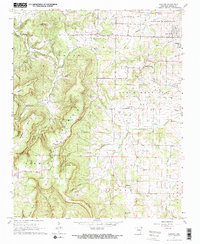
1967 · Gaither
USGS Topo · 1:24,000
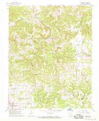
1967 · Bergman
USGS Topo · 1:24,000
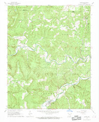
1967 · Jasper
USGS Topo · 1:24,000