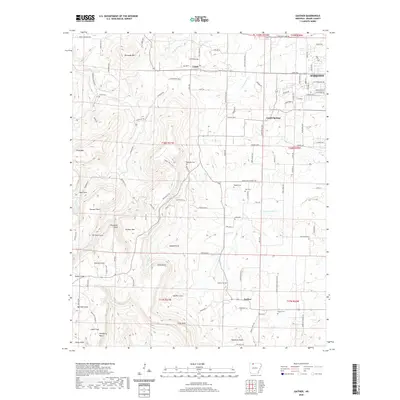
2020 Map of Gaither
USGS Topo · Published 2020About this map
Gaither Mtn and the surrounding Ozark Highlands in Boone County are defined by a complex network of coves and points that shaped local settlement patterns for generations. Small communities like Capps, Grubb Springs, and Gaither are positioned along the plateau and valley floors, connected by rural routes such as Peach Orchard Rd and Old Capps Rd S. The drainage systems of Terrapin Cr and W Fork Crooked Cr carve the landscape into distinct features like Fernsides Cove and Johnson Cove.
Find a feature on this map
122 named features on this map. Tap any name to fly to it.
Don’t see what you’re looking for? This feature index may not catch every label — zoom into the map to look around manually.
Map Details
Editions of this 2020 Gaither Map
This is the sole edition of this map. No revisions or reprints were ever made.
Other maps of this area

1904 · Harrison
USGS Topo · 1:125,000

1905 · Harrison
USGS Topo · 1:125,000

1945 · Harrison
USGS Topo · 1:250,000

1949 · Harrison
USGS Topo · 1:250,000

1954 · Harrison
USGS Topo · 1:250,000

1958 · Harrison
USGS Topo · 1:250,000

1964 · Harrison
USGS Topo · 1:250,000
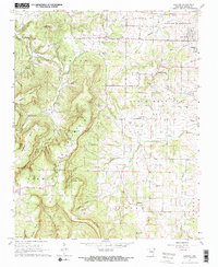
1967 · Gaither
USGS Topo · 1:24,000
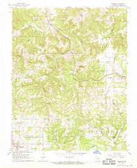
1967 · Bergman
USGS Topo · 1:24,000
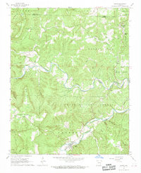
1967 · Jasper
USGS Topo · 1:24,000