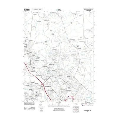
2011 Map of Gaithersburg
USGS Topo · Published 2011About this map
Gaithersburg and the surrounding Montgomery County landscape are depicted here in the early 21st century, showing a complex transition from agricultural roots to a suburban technological hub. The northern reaches maintain a more open character with family landmarks like Butlers Orchard and the Saint Paul Methodist Cemetery in Laytonsville. To the south, the city of Gaithersburg expands along the Metropolitan Branch railroad, a corridor that also includes historical markers like Clopper Siding.
Find a feature on this map
214 named features on this map. Tap any name to fly to it.
Don’t see what you’re looking for? This feature index may not catch every label — zoom into the map to look around manually.
Map Details
Editions of this 2011 Gaithersburg Map
This is the sole edition of this map. No revisions or reprints were ever made.
Other maps of this area

1893 · Frederick
USGS Topo · 1:125,000

1894 · Frederick
USGS Topo · 1:125,000

1908 · Rockville
USGS Topo · 1:62,500

1908 · Seneca
USGS Topo · 1:62,500

1908 · Ijamsville
USGS Topo · 1:62,500

1909 · Mount Airy
USGS Topo · 1:62,500

1909 · Ijamsville
USGS Topo · 1:62,500

1923 · Rockville
USGS Topo · 1:62,500

1942 · Frederick
USGS Topo · 1:62,500

1944 · Germantown
USGS Topo · 1:31,680