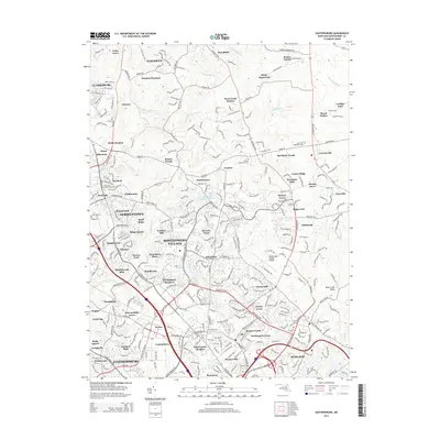
2014 Map of Gaithersburg
USGS Topo · Published 2014About this map
Germantown and Montgomery Village anchor this landscape of dense residential development and preserved green spaces in suburban Maryland. The map illustrates the sophisticated 21st-century settlement patterns of Montgomery County, where numerous planned neighborhoods like Brandermill, Windbrook, and Montgomery Meadows are woven between established arterial roads such as Woodfield Rd and Ridge Rd. This era is defined by the coexistence of high-density housing and substantial recreational infrastructure, including the Seneca Park grounds and the Montgomery County Airpark near the eastern edge.
Find a feature on this map
312 named features on this map. Tap any name to fly to it.
Don’t see what you’re looking for? This feature index may not catch every label — zoom into the map to look around manually.
Map Details
Editions of this 2014 Gaithersburg Map
This is the sole edition of this map. No revisions or reprints were ever made.
Other maps of this area

1893 · Frederick
USGS Topo · 1:125,000

1894 · Frederick
USGS Topo · 1:125,000

1908 · Rockville
USGS Topo · 1:62,500

1908 · Seneca
USGS Topo · 1:62,500

1908 · Ijamsville
USGS Topo · 1:62,500

1909 · Mount Airy
USGS Topo · 1:62,500

1909 · Ijamsville
USGS Topo · 1:62,500

1923 · Rockville
USGS Topo · 1:62,500

1942 · Frederick
USGS Topo · 1:62,500

1944 · Germantown
USGS Topo · 1:31,680