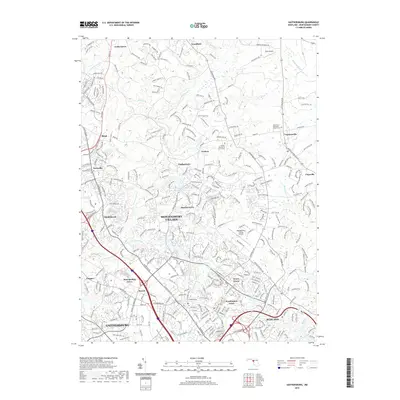
2019 Map of Gaithersburg
USGS Topo · Published 2019About this map
Gaithersburg and the planned residential patterns of Montgomery Village dominate the landscape of central Montgomery County in this 2019 survey. The map details a sophisticated suburban environment where modern infrastructure intersects with older pockets of settlement like Washington Grove and Prathertown. Aviation infrastructure is a notable component of the local economy and transport network, featuring both the private Davis Airport in the northeast and the Montgomery County Airpark near Emory Grove. Water features such as Lake Whetstone and Lake Walker are central to the landscape architecture of the residential developments, while the drainages of Great Seneca Cr and Rock Cr define the natural topography. Genealogists will find several significant burial sites, including the Goshen Mennonite Church Cem and the Neelsville Presbyterian Cem, which remain as legacy landmarks amidst the county's continued growth.
Find a feature on this map
302 named features on this map. Tap any name to fly to it.
Don’t see what you’re looking for? This feature index may not catch every label — zoom into the map to look around manually.
Map Details
Editions of this 2019 Gaithersburg Map
This is the sole edition of this map. No revisions or reprints were ever made.
Other maps of this area

1893 · Frederick
USGS Topo · 1:125,000

1894 · Frederick
USGS Topo · 1:125,000

1908 · Rockville
USGS Topo · 1:62,500

1908 · Seneca
USGS Topo · 1:62,500

1908 · Ijamsville
USGS Topo · 1:62,500

1909 · Mount Airy
USGS Topo · 1:62,500

1909 · Ijamsville
USGS Topo · 1:62,500

1923 · Rockville
USGS Topo · 1:62,500

1942 · Frederick
USGS Topo · 1:62,500

1944 · Germantown
USGS Topo · 1:31,680