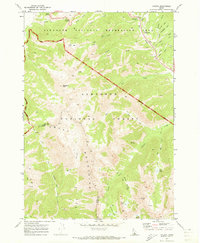
1970 Map of Galena
USGS Topo · Published 1973About this map
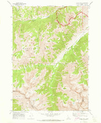
Galena Summit stands as the high point of transit through this high-altitude landscape where the Sawtooth National Recreation Area meets the Sawtooth National Forest. This 1970 survey captures a region defined by its complex hydrology and verticality, with the Big Wood River winding through the northern reaches near the Galena Pioneer Cem. The map documents a transition in land use, showing the early infrastructure of the recreation area alongside established pack trails and jeep trails that penetrate the Smoky Mountains. High mountain basins hold numerous named water bodies, including Titus Lake, the Norton Lakes, and Miner Lake. The presence of several peaks like Norton Peak and Bromaghin Peak indicates a terrain shaped more by geology and seasonal recreation than by permanent settlement, preserving the 1970 footprint of this remote central Idaho backcountry.
Find a feature on this map
40 named features on this map. Tap any name to fly to it.
Don’t see what you’re looking for? This feature index may not catch every label — zoom into the map to look around manually.
Map Details
Editions of this 1970 Galena Map
3 editions found
Other maps of this area

1900 · Sawtooth
USGS Topo · 1:125,000

1955 · Hailey
USGS Topo · 1:250,000

1959 · Hailey
USGS Topo · 1:250,000

1962 · Hailey
USGS Topo · 1:250,000

1963 · Alturas Lake
USGS Topo · 1:24,000

1964 · Frenchman Creek
USGS Topo · 1:24,000
1970 · Horton Peak
USGS Topo · 1:24,000

1970 · Paradise Peak
USGS Topo · 1:24,000
1970 · Galena Peak
USGS Topo · 1:24,000
1970 · Easley Hot Springs
USGS Topo · 1:24,000