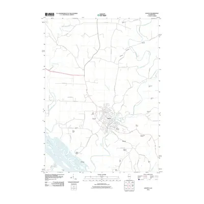
2010 Map of Galena
USGS Topo · Published 2010About this map
Galena sits as a historic hub where the Galena River winds toward its confluence with the Mississippi River. This map shows a landscape heavily marked by its mineral and maritime history, featuring numerous extraction sites like the Vinegar Hill Mine and Tenstrike Mine scattered across the uplands. The river bottomlands are defined by the Deadmans Slough and crossing points such as Gears Ferry and Gordons Ferry, which connect the Illinois shore to the neighboring Iowa territory.
Find a feature on this map
66 named features on this map. Tap any name to fly to it.
Don’t see what you’re looking for? This feature index may not catch every label — zoom into the map to look around manually.
Map Details
Editions of this 2010 Galena Map
This is the sole edition of this map. No revisions or reprints were ever made.
Other maps of this area

1900 · Lancaster
USGS Topo · 1:125,000

1901 · Peosta
USGS Topo · 1:125,000

1902 · Mineral Point
USGS Topo · 1:125,000

1904 · Lancaster
USGS Topo · 1:125,000

1908 · Lancaster
USGS Topo · 1:125,000

1911 · Galena
USGS Topo · 1:62,500

1913 · Galena
USGS Topo · 1:62,500

1935 · East Dubuque
USGS Topo · 1:62,500

1940 · East Dubuque
USGS Topo · 1:62,500

1952 · Cuba City
USGS Topo · 1:24,000