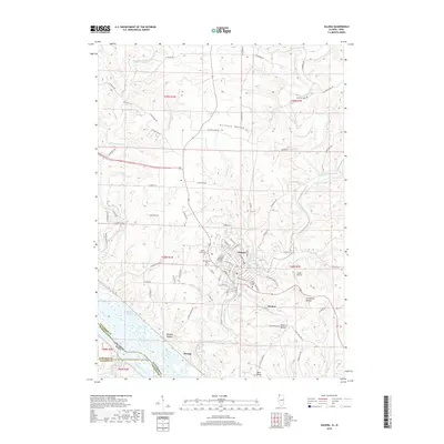
2018 Map of Galena
USGS Topo · Published 2018About this map
Galena dominates this landscape, its historic street grid concentrated along the Galena River as it winds toward the massive Mississippi River. The terrain is defined by dramatic elevations and deep valleys, notably the Millbrig Hollow to the north and prominent heights like Horseshoe Mound and Pilot Knob. These landmarks provided natural vantage points overlooking the river commerce that built the region. Along the southwestern edge, the map shows the transition into Portage and the intricate waterways of Kehough Slough and The Reach. Genealogists will find several significant burial grounds documented, including Greenwood Cem and Saint Michaels Cem, while the location of Gears Ferry recalls the area's long history as a transportation hub where the Sinsinawa River meets the larger drainage systems near the Illinois and Iowa border.
Find a feature on this map
87 named features on this map. Tap any name to fly to it.
Don’t see what you’re looking for? This feature index may not catch every label — zoom into the map to look around manually.
Map Details
Editions of this 2018 Galena Map
This is the sole edition of this map. No revisions or reprints were ever made.
Other maps of this area

1900 · Lancaster
USGS Topo · 1:125,000

1901 · Peosta
USGS Topo · 1:125,000

1902 · Mineral Point
USGS Topo · 1:125,000

1904 · Lancaster
USGS Topo · 1:125,000

1908 · Lancaster
USGS Topo · 1:125,000

1911 · Galena
USGS Topo · 1:62,500

1913 · Galena
USGS Topo · 1:62,500

1935 · East Dubuque
USGS Topo · 1:62,500

1940 · East Dubuque
USGS Topo · 1:62,500

1952 · Cuba City
USGS Topo · 1:24,000