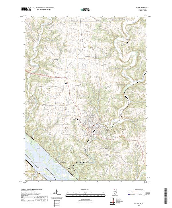
2024 Map of Galena
USGS Topo · Published 2024About this map
Galena serves as the focal point of this riverfront landscape, where the Galena River cuts through steep bluffs toward its confluence with the Mississippi River. The town's civic and spiritual heart is well-defined, featuring the Jo Daviess County Courthouse, Grace Episcopal Church, and Saint Michaels Church. This modern survey illustrates the proximity of historical burial grounds to the town center, including Greenwood Cem, Saint Marys Cem, and Saint Michaels Cem.
Find a feature on this map
86 named features on this map. Tap any name to fly to it.
Don’t see what you’re looking for? This feature index may not catch every label — zoom into the map to look around manually.
Map Details
Editions of this 2024 Galena Map
This is the sole edition of this map. No revisions or reprints were ever made.
Other maps of this area

1900 · Lancaster
USGS Topo · 1:125,000

1901 · Peosta
USGS Topo · 1:125,000

1902 · Mineral Point
USGS Topo · 1:125,000

1904 · Lancaster
USGS Topo · 1:125,000

1908 · Lancaster
USGS Topo · 1:125,000

1911 · Galena
USGS Topo · 1:62,500

1913 · Galena
USGS Topo · 1:62,500

1935 · East Dubuque
USGS Topo · 1:62,500

1940 · East Dubuque
USGS Topo · 1:62,500

1952 · Cuba City
USGS Topo · 1:24,000
Featured Places
- Galena, IL
- East Galena Township, IL
- Vinegar Hill Township, IL
- Council Hill Township, IL
- Menominee Township, IL