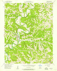
1956 Map of Galena
USGS Topo · Published 1957About this map
The James River snakes through the heart of the Ozark hills in this mid-century survey, defining the rugged landscape of Stone County. The town of Galena serves as the focal point, situated at a sharp bend in the river where the Missouri Pacific railroad tracks hug the western bank. This era shows a network of hollows and ridges named for local families and landmarks, such as Canady Hill Hollow, Compton Hollow, and Otto Ridge.
Find a feature on this map
49 named features on this map. Tap any name to fly to it.
Don’t see what you’re looking for? This feature index may not catch every label — zoom into the map to look around manually.
Map Details
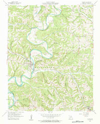
Editions of this 1956 Galena Map
2 editions found
Other maps of this area

1907 · Forsyth
USGS Topo · 1:125,000

1927 · Shell Knob
USGS Topo · 1:62,500

1942 · Aurora
USGS Topo · 1:62,500

1945 · Harrison
USGS Topo · 1:250,000

1945 · Aurora
USGS Topo · 1:62,500

1949 · Harrison
USGS Topo · 1:250,000

1950 · Shell Knob
USGS Topo · 1:62,500

1950 · Garber
USGS Topo · 1:24,000

1954 · Harrison
USGS Topo · 1:250,000
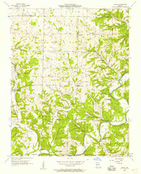
1955 · Hurley
USGS Topo · 1:24,000