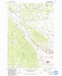
1979 Map of Gales Creek
USGS Topo · Published 1992About this map
Gales Creek winds through the heart of this Washington County landscape, serving as a corridor for settlement and early industry. To the west, the steep, timbered slopes of the Tillamook State Forest rise toward Gales Peak, while the eastern portion of the sheet reveals a more developed agricultural and residential pattern. Small communities such as Balm Grove, Kansas City, and Thatcher are connected by a network of rural roads including Parson Road and Old Wilson River Road. The map documents the northern reaches of Forest Grove, noting civic improvements like the Filtration Plant and Forest Glen Park. Genealogists will find value in the clearly marked Gales Creek Cem, Purdin Cem, and Forest View Cemetery, which anchor the historical record of these local families. Near the southern edge, the waters of Henry Hagg Lake and the engineering of the Alexander Ditch highlight the area's water management history.
Find a feature on this map
57 named features on this map. Tap any name to fly to it.
Don’t see what you’re looking for? This feature index may not catch every label — zoom into the map to look around manually.
Map Details
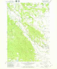
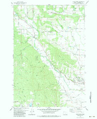
Editions of this 1979 Gales Creek Map
3 editions found
Other maps of this area

1941 · Timber
USGS Topo · 1:62,500

1941 · Gales Creek
USGS Topo · 1:62,500

1941 · Yamhill
USGS Topo · 1:62,500

1942 · Yamhill
USGS Topo · 1:62,500

1942 · Fairdale
USGS Topo · 1:62,500

1948 · Vancouver
USGS Topo · 1:250,000

1950 · Vancouver
USGS Topo · 1:250,000

1950 · Vancouver
USGS Topo · 1:250,000

1955 · Timber
USGS Topo · 1:62,500

1955 · Fairdale
USGS Topo · 1:62,500