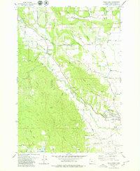
1979 Map of Gales Creek
USGS Topo · Published 1979About this map
Gales Creek serves as the focal point for this landscape where the agricultural valleys of Washington County meet the rising timberlands of the Tillamook State Forest. In the late 1970s, the area demonstrates a mix of rural crossroads and growing suburban fringes, with Forest Grove expanding toward the southern edge of the sheet. The map documents several small, historical communities such as Kansas City, Greenville, and Hillside, many of which grew around early post offices and schools. Moving into the higher elevations toward Gales Peak, the terrain is defined by a dense network of mountain streams including Clear Creek and Thomas Creek. Local genealogy is well-represented through numerous burial grounds like the Gales Creek Cem and Purdin Cem, as well as the family-named landmarks like David Hill and Shearer Hill. Water management is prominent in the lowland reaches, seen in the Jackson Reservoir and the engineered channels of the local Drainage District.
Find a feature on this map
63 named features on this map. Tap any name to fly to it.
Don’t see what you’re looking for? This feature index may not catch every label — zoom into the map to look around manually.
Map Details
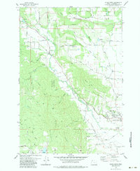
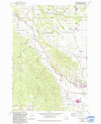
Editions of this 1979 Gales Creek Map
3 editions found
Other maps of this area

1941 · Timber
USGS Topo · 1:62,500

1941 · Gales Creek
USGS Topo · 1:62,500

1941 · Yamhill
USGS Topo · 1:62,500

1942 · Yamhill
USGS Topo · 1:62,500

1942 · Fairdale
USGS Topo · 1:62,500

1948 · Vancouver
USGS Topo · 1:250,000

1950 · Vancouver
USGS Topo · 1:250,000

1950 · Vancouver
USGS Topo · 1:250,000

1955 · Timber
USGS Topo · 1:62,500

1955 · Fairdale
USGS Topo · 1:62,500