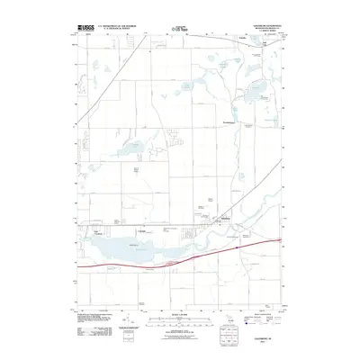
2011 Map of Galesburg
USGS Topo · Published 2011About this map
Galesburg serves as the central hub of this region, situated where Gull Creek joins the Kalamazoo River. This area is characterized by a high concentration of burial grounds, providing significant resources for genealogical research, including the Galesburg Old Cemetery and the notable Kalamazoo County Poor Farm Cemetery. To the north, the small settlement of Howlandsburg is located near the Mill Pond and its namesake Howlandsburg Cemetery.
Find a feature on this map
77 named features on this map. Tap any name to fly to it.
Don’t see what you’re looking for? This feature index may not catch every label — zoom into the map to look around manually.
Map Details
Editions of this 2011 Galesburg Map
This is the sole edition of this map. No revisions or reprints were ever made.
Other maps of this area

1916 · Kalamazoo
USGS Topo · 1:62,500

1918 · Kalamazoo
USGS Topo · 1:62,500

1918 · Galesburg
USGS Topo · 1:62,500

1918 · Leonidas
USGS Topo · 1:62,500

1922 · Schoolcraft
USGS Topo · 1:62,500

1943 · Kalamazoo
USGS Topo · 1:62,500

1943 · Schoolcraft
USGS Topo · 1:62,500

1944 · Leonidas
USGS Topo · 1:62,500

1944 · Galesburg
USGS Topo · 1:62,500

1947 · Augusta
USGS Topo · 1:24,000