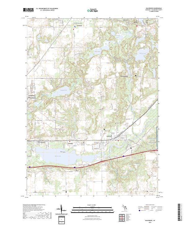
2023 Map of Galesburg
USGS Topo · Published 2023About this map
Galesburg serves as a central hub on this contemporary survey of Kalamazoo County, where the Kalamazoo River flows through a landscape defined by significant water bodies and rural burial grounds. The map documents the area surrounding Morrow Lake and the southern reaches of Gull Lake, detailing the residential expansion of Lawndale and Richland. Genealogists will find a high density of rural cemeteries, including the Kalamazoo County Poor Farm Cem and several smaller sites like Shafter Cem and Riverside Cem. The transition from the more developed East Comstock to the agricultural reaches of Howlandsburg is evident, while the Fort Custer Training Center facilities appear in the southeastern quadrant. This survey provides a precise modern inventory of the region's diverse lakes, including Graham Lake, Butterfield Lake, and the Three Lakes group, situated between the historic settlements and modern townships.
Find a feature on this map
78 named features on this map. Tap any name to fly to it.
Don’t see what you’re looking for? This feature index may not catch every label — zoom into the map to look around manually.
Map Details
Editions of this 2023 Galesburg Map
This is the sole edition of this map. No revisions or reprints were ever made.
Other maps of this area

1916 · Kalamazoo
USGS Topo · 1:62,500

1918 · Kalamazoo
USGS Topo · 1:62,500

1918 · Galesburg
USGS Topo · 1:62,500

1918 · Leonidas
USGS Topo · 1:62,500

1922 · Schoolcraft
USGS Topo · 1:62,500

1943 · Kalamazoo
USGS Topo · 1:62,500

1943 · Schoolcraft
USGS Topo · 1:62,500

1944 · Leonidas
USGS Topo · 1:62,500

1944 · Galesburg
USGS Topo · 1:62,500

1947 · Augusta
USGS Topo · 1:24,000