
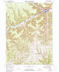
1947 Map of Galeton
USGS Topo · Published 1958About this map
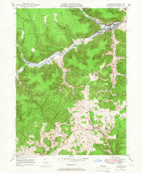
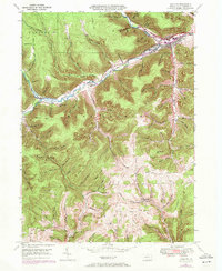
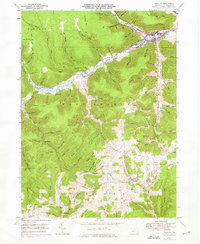
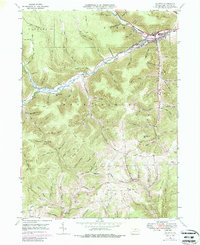
Galeton serves as the primary hub at the confluence of several mountain waterways, where the Baltimore and Ohio RR follows the winding path of Pine Creek. In the late 1940s, this area of Potter County shows a landscape defined by sharp ridges and deep hollows, with small rural nodes like Germania and Carter Camp connected by winding routes such as Cheese Factory Road. The presence of both the Germania Sta and Lymans Run Sta along the railroad line underscores the historical importance of the timber and freight industry in this steep terrain.
Find a feature on this map
94 named features on this map. Tap any name to fly to it.
Don’t see what you’re looking for? This feature index may not catch every label — zoom into the map to look around manually.
Map Details
Editions of this 1947 Galeton Map
6 editions found
Other maps of this area

1899 · Gaines
USGS Topo · 1:62,500

1900 · Gaines
USGS Topo · 1:62,500

1932 · Genesee
USGS Topo · 1:62,500

1937 · Genesee
USGS Topo · 1:62,500

1947 · Conrad
USGS Topo · 1:62,500

1947 · Galeton
USGS Topo · 1:62,500

1947 · Lee Fire Tower
USGS Topo · 1:24,000

1947 · Short Run
USGS Topo · 1:24,000
1947 · Oleona
USGS Topo · 1:24,000

1947 · Cherry Springs
USGS Topo · 1:24,000
Featured Places
- Galeton, PA
- Abbott Township, PA
- Pike Township, PA
- West Branch Township, PA
- Burrows, West Branch Township