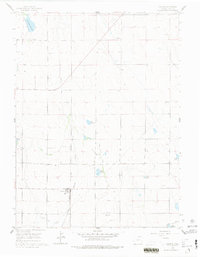
1960 Map of Galeton
USGS Topo · Published 1977About this map
Galeton stands as the primary hub of this Weld County landscape, situated at the junction of the Union Pacific and a long Old Railroad Grade that cuts diagonally across the northern sections. This 1960 survey illustrates an environment defined by early-twentieth-century water management, where the survival of the High Plains agricultural economy depended on an intricate network of irrigation and storage. Extensive systems like the Eaton Ditch and Greeley No 2 Ditch snake through the terrain, feeding various catchments such as Mason Reservoir, Cole Reservoir, and Owl Creek Reservoir. Beyond the town site, the map identifies localized industrial and navigation markers including a Sandpit, a Mine, and the VABM Dewey triangulation station. This document preserves the late-period layout of these rural lifelines before many of the smaller reservoirs and ditch alignments were altered by modern ranching and suburban development.
Find a feature on this map
18 named features on this map. Tap any name to fly to it.
Don’t see what you’re looking for? This feature index may not catch every label — zoom into the map to look around manually.
Map Details
Editions of this 1960 Galeton Map
3 editions found
Other maps of this area

1902 · Greeley
USGS Topo · 1:125,000

1908 · Eaton
USGS Topo · 1:125,000

1910 · Eaton
USGS Topo · 1:125,000

1950 · Greeley
USGS Topo · 1:24,000

1950 · Kersey
USGS Topo · 1:24,000

1950 · Barnesville
USGS Topo · 1:24,000

1954 · Greeley
USGS Topo · 1:250,000

1957 · Greeley
USGS Topo · 1:250,000

1958 · Greeley
USGS Topo · 1:250,000

1960 · Purcell
USGS Topo · 1:24,000