
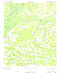
1950 Map of Galivants Ferry
USGS Topo · Published 1950About this map
Little Pee Dee River defines the western edge of this 1950 coastal plain landscape, where a intricate network of oxbow lakes like Snowbird Lake and Smokey Lake speaks to the shifting course of the water. The historic river crossing at Galivants Ferry serves as a primary hub, connecting to the agricultural interior through roads like Dawsey. This survey highlights the rural social fabric of Horry County through its numerous community anchors, including Sandy Plains Ch and New Home Ch, alongside several local schools such as Pisgah Sch and Chapel Hill Sch. The terrain is marked by distinct geological features like the Half Moon Sand Hills and the sprawling Lake Swamp, while small settlements like Ketchuptown and Aynor show the established crossroads culture of mid-century South Carolina.
Find a feature on this map
72 named features on this map. Tap any name to fly to it.
Don’t see what you’re looking for? This feature index may not catch every label — zoom into the map to look around manually.
Map Details
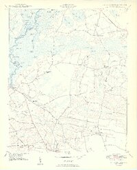
Editions of this 1950 Galivants Ferry Map
3 editions found
Other maps of this area

1943 · Adrian
USGS Topo · 1:24,000

1943 · Horry
USGS Topo · 1:24,000

1944 · Adrian
USGS Topo · 1:31,680

1946 · Johnsonville
USGS Topo · 1:62,500

1946 · Mullins
USGS Topo · 1:24,000

1947 · Centenary
USGS Topo · 1:24,000

1947 · Mullins
USGS Topo · 1:24,000

1948 · Galivants Ferry
USGS Topo · 1:24,000

1948 · Nichols
USGS Topo · 1:24,000

1948 · Bayboro
USGS Topo · 1:24,000