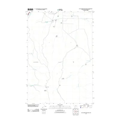
2011 Map of Gallagher Mountain
USGS Topo · Published 2011About this map
The Beaverhead River flows through the northwest corner of this landscape, where the Barretts Rest Area serves as a lone modern landmark near the foothills. This area of Beaverhead County is defined by a network of ranching operations that have shaped the land's utility, including the Flynn Brothers Ranch and Stefonic Ranch. Water management is central to the high-desert agriculture here, evidenced by the Canyon Ditch and East Bench Canal which draw from the river system to irrigate the lower draws.
Find a feature on this map
32 named features on this map. Tap any name to fly to it.
Don’t see what you’re looking for? This feature index may not catch every label — zoom into the map to look around manually.
Map Details
Editions of this 2011 Gallagher Mountain Map
This is the sole edition of this map. No revisions or reprints were ever made.
Other maps of this area

1893 · Dillon
USGS Topo · 1:250,000

1952 · Burns Mountain
USGS Topo · 1:24,000

1952 · Dalys
USGS Topo · 1:24,000

1952 · Gallagher Mountain
USGS Topo · 1:24,000

1955 · Dubois
USGS Topo · 1:250,000

1955 · Dillon
USGS Topo · 1:250,000

1957 · Dillon
USGS Topo · 1:250,000

1958 · Dubois
USGS Topo · 1:250,000

1958 · Dillon
USGS Topo · 1:250,000

1961 · Ashbough Canyon
USGS Topo · 1:24,000