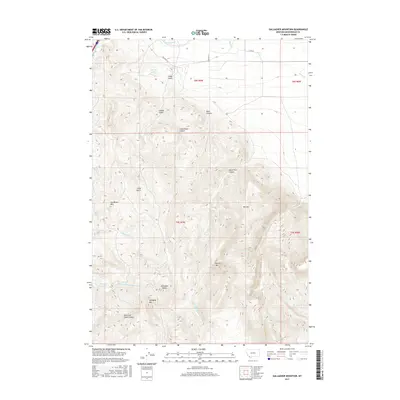
2017 Map of Gallagher Mountain
USGS Topo · Published 2017About this map
Gallagher Mtn and Jim Brown Mtn anchor the high country of Beaverhead County in this 2017 survey. The landscape is defined by a series of steep drainages including Mass Canyon, Little Basin Canyon, and Small Horn Canyon, which flow eastward toward the Sheep Cr drainage. Higher elevations are marked by distinctive peaks such as Retort Mtn and Gallagher Butte, while the lower northern sections show more human-centric engineering in the form of Canyon Ditch and access roads like Steffonic Ln and Carrigan Ln.
Find a feature on this map
27 named features on this map. Tap any name to fly to it.
Don’t see what you’re looking for? This feature index may not catch every label — zoom into the map to look around manually.
Map Details
Editions of this 2017 Gallagher Mountain Map
This is the sole edition of this map. No revisions or reprints were ever made.
Other maps of this area

1893 · Dillon
USGS Topo · 1:250,000

1952 · Burns Mountain
USGS Topo · 1:24,000

1952 · Dalys
USGS Topo · 1:24,000

1952 · Gallagher Mountain
USGS Topo · 1:24,000

1955 · Dubois
USGS Topo · 1:250,000

1955 · Dillon
USGS Topo · 1:250,000

1957 · Dillon
USGS Topo · 1:250,000

1958 · Dubois
USGS Topo · 1:250,000

1958 · Dillon
USGS Topo · 1:250,000

1961 · Ashbough Canyon
USGS Topo · 1:24,000