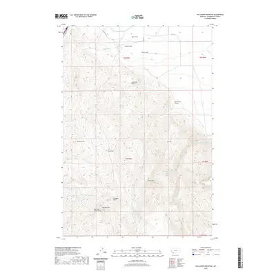
2020 Map of Gallagher Mountain
USGS Topo · Published 2020About this map
The Beaverhead River cuts through the northwest corner of this Beaverhead County landscape, marking the transition from the river valley to the high ridges of the Beaverhead Mountains. Rising steeply above the drainage, peaks such as Jim Brown Mtn, Retort Mtn, and the namesake Gallagher Mtn define a terrain shaped by deep cuts like Mass Canyon and Little Basin Canyon. These features illustrate the dramatic vertical relief that characterizes this section of southwest Montana.
Find a feature on this map
29 named features on this map. Tap any name to fly to it.
Don’t see what you’re looking for? This feature index may not catch every label — zoom into the map to look around manually.
Map Details
Editions of this 2020 Gallagher Mountain Map
This is the sole edition of this map. No revisions or reprints were ever made.
Other maps of this area

1893 · Dillon
USGS Topo · 1:250,000

1952 · Burns Mountain
USGS Topo · 1:24,000

1952 · Dalys
USGS Topo · 1:24,000

1952 · Gallagher Mountain
USGS Topo · 1:24,000

1955 · Dubois
USGS Topo · 1:250,000

1955 · Dillon
USGS Topo · 1:250,000

1957 · Dillon
USGS Topo · 1:250,000

1958 · Dubois
USGS Topo · 1:250,000

1958 · Dillon
USGS Topo · 1:250,000

1961 · Ashbough Canyon
USGS Topo · 1:24,000