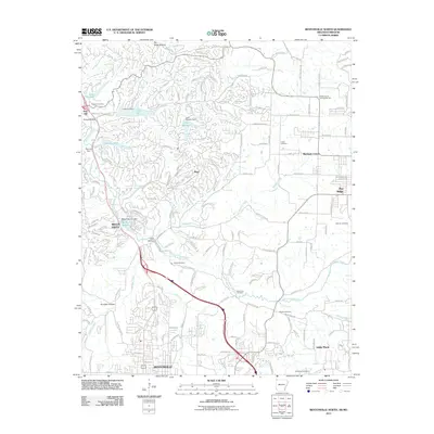
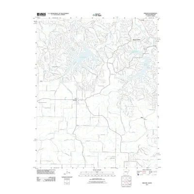
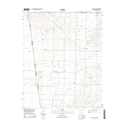
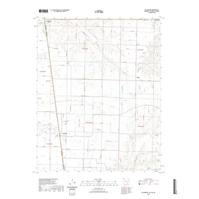
1970 Map of Gallatin
USGS Topo · Published 1972About this map
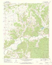
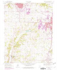
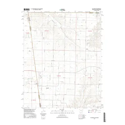
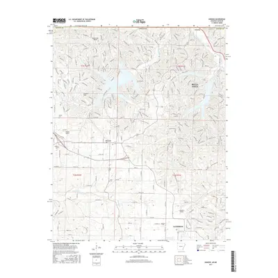
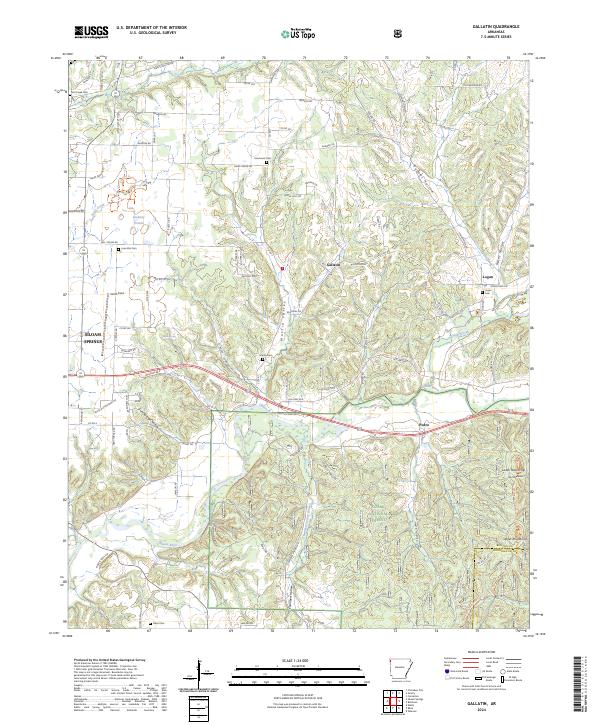
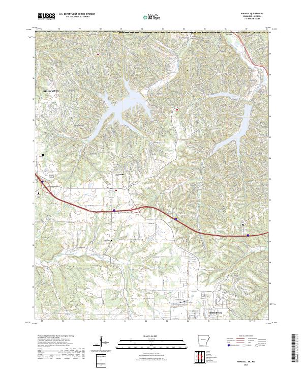
Illinois River meanders through the heart of this landscape, carving a deep valley as it flows toward the Ozark National Forest at the southern boundary. This 1970 snapshot of Benton and Washington Counties reveals a rural society built on a mix of prairie farming and the specialized terrain of the hollows. Higher ground is marked by expansive open spaces like Prairie and Lindsley, while the rugged eastern hills are defined by deep cuts such as Palmer Hollow and Hoover Hollow. Local life centers around a network of country churches and community hubs, including the Fairmount Community Hall and Shady Grove Ch. The presence of the Ozark Academy and Camp Ozark in the northwest suggests an area established with education and recreation in mind. Genealogists will find a wealth of data in the many family and community burial grounds, from Lone Elm Cem to the Flint Creek Cem near the northern border.
Find a feature on this map
41 named features on this map. Tap any name to fly to it.
Don’t see what you’re looking for? This feature index may not catch every label — zoom into the map to look around manually.
Map Details
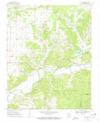
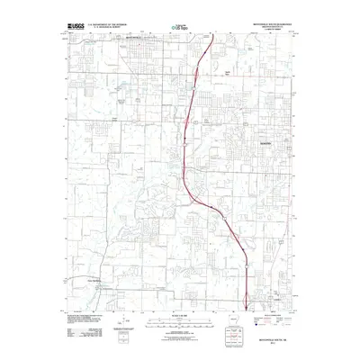
Editions of this 1970 Gallatin Map
3 editions found
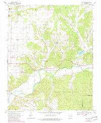
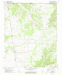
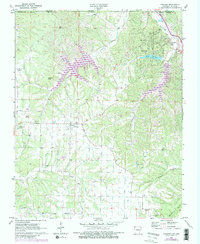
Historical Maps of Siloam Springs Through Time
36 maps found
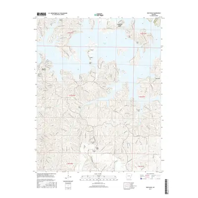
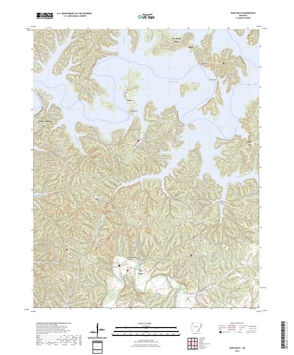
1957 War Eagle
Benton County, AR
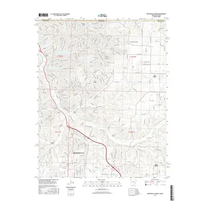
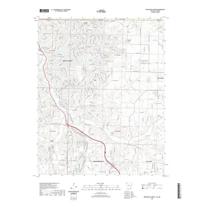
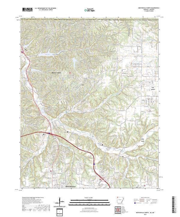
1970 Bentonville North
Benton County, AR
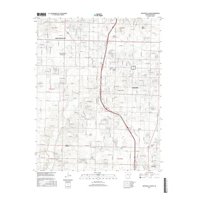
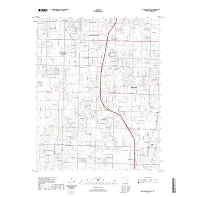
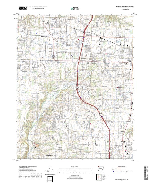
1970 Bentonville South
Benton County, AR
1970 Gallatin
Benton County, AR
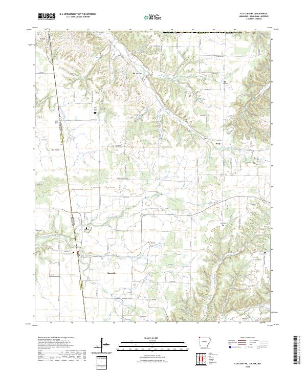
1971 Colcord NE
Benton County, AR
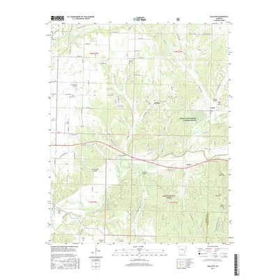
1971 Hiwasse
Benton County, AR
2011 Bentonville North
Benton County, AR
2011 Bentonville South
Benton County, AR
2011 Colcord NE
Benton County, AR
2011 Gallatin
Benton County, AR
2011 Hiwasse
Benton County, AR
2011 War Eagle
Benton County, AR
2014 Bentonville North
Benton County, AR
2014 Bentonville South
Benton County, AR
2014 Colcord NE
Benton County, AR
2014 Gallatin
Benton County, AR
2014 Hiwasse
Benton County, AR
2014 War Eagle
Benton County, AR
2017 Bentonville North
Benton County, AR
2017 Bentonville South
Benton County, AR
2017 Colcord NE
Benton County, AR
2017 Gallatin
Benton County, AR
2017 Hiwasse
Benton County, AR
2017 War Eagle
Benton County, AR
2020 Bentonville North
Benton County, AR
2020 Bentonville South
Benton County, AR
2020 Colcord NE
Benton County, AR
2020 Gallatin
Benton County, AR
2020 Hiwasse
Benton County, AR
2020 War Eagle
Benton County, AR
2024 Bentonville North
Benton County, AR
2024 Bentonville South
Benton County, AR
2024 Colcord NE
Benton County, AR
2024 Gallatin
Benton County, AR
2024 Hiwasse
Benton County, AR
2024 War Eagle
Benton County, AR