
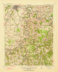
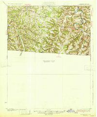
1942 Map of Gallatin
USGS Topo · Published 1942About this map
The Cumberland River corridor in the early 1940s defines a landscape transitioning from river-based transport to a robust rail economy. The Louisville and Nashville and Tennessee Central railroads intersect the region, connecting critical hubs like Gallatin and Portland. This survey captures the rural character of the Tennessee-Kentucky border before modern highway expansion, preserving the locations of numerous small trade centers and family-named landmarks.
Find a feature on this map
127 named features on this map. Tap any name to fly to it.
Don’t see what you’re looking for? This feature index may not catch every label — zoom into the map to look around manually.
Map Details
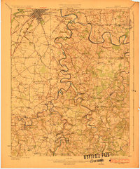
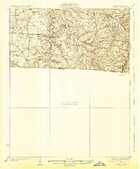
Editions of this 1942 Gallatin Map
This is the sole edition of this map. No revisions or reprints were ever made.
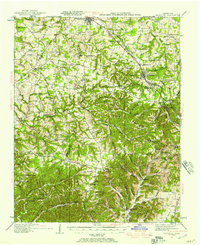
Other maps of this area

1903 · Nashville
USGS Topo · 1:125,000
1921 · Bowling Green
USGS Topo · 1:62,500
1923 · Bowling Green
USGS Topo · 1:62,500
1926 · Scottsville
USGS Topo · 1:62,500
1928 · Adolphus
USGS Topo · 1:48,000
1931 · Lafayette
USGS Topo · 1:62,500
1931 · Adolphus
USGS Topo · 1:62,500
1931 · Ridgetop
USGS Topo · 1:62,500

1932 · Hermitage
USGS Topo · 1:62,500

1932 · Nashville
USGS Topo · 1:62,500