Loading...
Loading map...2022 Map of Gallaway
USGS Topo · Published 2022About this map
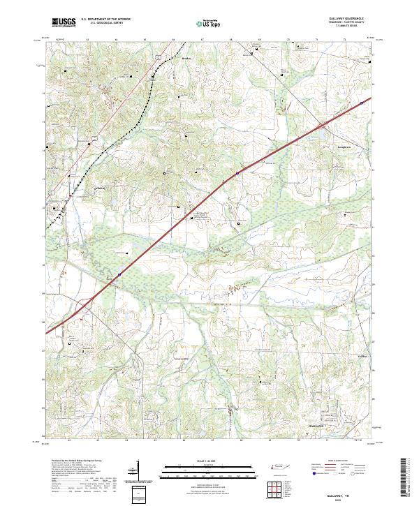
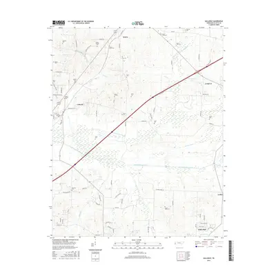
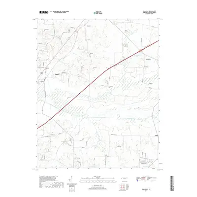
Gallaway and Braden anchor this Fayette County landscape, where a sophisticated network of agricultural drainage channels defines the local geography. The Loosahatchie River Canal, Little Cypress Cr Canal, and Laurel Cr Canal demonstrate a systematic effort to manage the West Tennessee lowlands for cultivation. These man-made waterways cut straight paths across the terrain, distinct from the winding natural flow of Beaver Cr and Wilder Cr.
Find a feature on this map
93 named features on this map. Tap any name to fly to it.
Don’t see what you’re looking for? This feature index may not catch every label — zoom into the map to look around manually.
Map Details
Date Portrayed2022
Date Published2022
PublisherU.S. Geological Survey
Map TypeTopographic
Scale1:24,000
Physical Dimensions24 x 29 inches
Editions of this 2022 Gallaway Map
This is the sole edition of this map. No revisions or reprints were ever made.
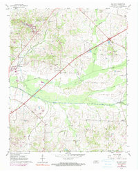
Historical Maps of Oakland Through Time
6 maps found
Featured Locations
Source Details
SourceU.S. Geological Survey
CopyrightPublic Domain