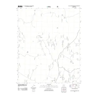
2011 Map of Gallo Mountains West
USGS Topo · Published 2011About this map
Fox Mountain and its associated Fox Mountain Lookout anchor the high-elevation landscape of this southwestern New Mexico terrain. The map records a transition from the rugged drainage of Willie Steel Canyon and Deep Canyon in the north toward the flatter prominence of Jewett Mesa to the south. Modern infrastructure is sparse, characterized primarily by forest access via State Rte 32 and various forest roads like Forest Rd 23.
Find a feature on this map
27 named features on this map. Tap any name to fly to it.
Don’t see what you’re looking for? This feature index may not catch every label — zoom into the map to look around manually.
Map Details
Editions of this 2011 Gallo Mountains West Map
This is the sole edition of this map. No revisions or reprints were ever made.
Other maps of this area

1915 · Reserve
USGS Topo · 1:125,000

1918 · Reserve
USGS Topo · 1:125,000

1954 · Clifton
USGS Topo · 1:250,000

1954 · Saint Johns
USGS Topo · 1:250,000

1955 · Red Hill
USGS Topo · 1:24,000

1957 · Clifton
USGS Topo · 1:250,000

1957 · Saint Johns
USGS Topo · 1:250,000

1958 · Clifton
USGS Topo · 1:250,000

1958 · Saint Johns
USGS Topo · 1:250,000

1962 · Clifton
USGS Topo · 1:250,000