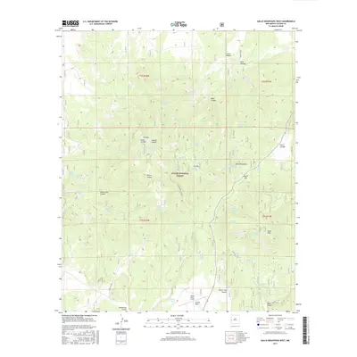
2017 Map of Gallo Mountains West
USGS Topo · Published 2017About this map
The Apache National Forest dominates this high-altitude landscape in western New Mexico, where deep drainages like Steel Canyon and Lawson Canyon carve through the terrain. The central high ground is anchored by Fox Mtn, topped by the Fox Mountain Lookout, a critical vantage point for the surrounding timberlands. Further south, the map reveals the small Jewett Mesa Airport on the flat expanse of Jewett Mesa, providing a rare touch of modern infrastructure in this secluded mountain range.
Find a feature on this map
62 named features on this map. Tap any name to fly to it.
Don’t see what you’re looking for? This feature index may not catch every label — zoom into the map to look around manually.
Map Details
Editions of this 2017 Gallo Mountains West Map
This is the sole edition of this map. No revisions or reprints were ever made.
Other maps of this area

1915 · Reserve
USGS Topo · 1:125,000

1918 · Reserve
USGS Topo · 1:125,000

1954 · Clifton
USGS Topo · 1:250,000

1954 · Saint Johns
USGS Topo · 1:250,000

1955 · Red Hill
USGS Topo · 1:24,000

1957 · Clifton
USGS Topo · 1:250,000

1957 · Saint Johns
USGS Topo · 1:250,000

1958 · Clifton
USGS Topo · 1:250,000

1958 · Saint Johns
USGS Topo · 1:250,000

1962 · Clifton
USGS Topo · 1:250,000