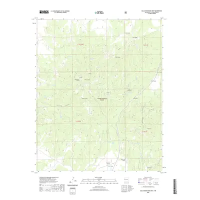
2020 Map of Gallo Mountains West
USGS Topo · Published 2020About this map
The Apache National Forest dominates this landscape in Catron County, where the high peaks of the Gallo Mountains rise over the high desert terrain. The map reveals a remote network of water sources vital to the area's high-altitude ecosystem, including Black Spring, Elderberry Spring, and Turkey Roost Spring. The prominent heights of Gallo Peak and Fox Mtn provide landmarks for those navigating the rugged canyons and flats that define the region.
Find a feature on this map
47 named features on this map. Tap any name to fly to it.
Don’t see what you’re looking for? This feature index may not catch every label — zoom into the map to look around manually.
Map Details
Editions of this 2020 Gallo Mountains West Map
This is the sole edition of this map. No revisions or reprints were ever made.
Other maps of this area

1915 · Reserve
USGS Topo · 1:125,000

1918 · Reserve
USGS Topo · 1:125,000

1954 · Clifton
USGS Topo · 1:250,000

1954 · Saint Johns
USGS Topo · 1:250,000

1955 · Red Hill
USGS Topo · 1:24,000

1957 · Clifton
USGS Topo · 1:250,000

1957 · Saint Johns
USGS Topo · 1:250,000

1958 · Clifton
USGS Topo · 1:250,000

1958 · Saint Johns
USGS Topo · 1:250,000

1962 · Clifton
USGS Topo · 1:250,000