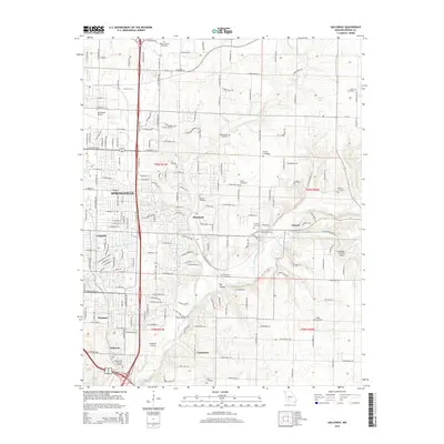
2015 Map of Galloway
USGS Topo · Published 2015About this map
Springfield and its eastern suburbs are captured during a period of modern expansion where the urban grid of the city meets the winding valley of the James River. The map reveals a transition from the dense street layouts of neighborhoods like Langston and Galloway to the more open terrain of Mumford and Turners. A strong north-south transportation corridor is established by major roads and the Bnsf railroad line, which skirts the eastern edge of the city before following the river south toward Lake Springfield.
Find a feature on this map
134 named features on this map. Tap any name to fly to it.
Don’t see what you’re looking for? This feature index may not catch every label — zoom into the map to look around manually.
Map Details
Editions of this 2015 Galloway Map
This is the sole edition of this map. No revisions or reprints were ever made.
Other maps of this area

1884 · Springfield
USGS Topo · 1:125,000

1886 · Springfield
USGS Topo · 1:125,000

1935 · Springfield
USGS Topo · 1:24,000

1937 · Galloway
USGS Topo · 1:24,000

1937 · Ozark
USGS Topo · 1:48,000

1943 · Ozark
USGS Topo · 1:62,500

1945 · Ozark
USGS Topo · 1:62,500

1946 · Bassville
USGS Topo · 1:24,000

1947 · Strafford
USGS Topo · 1:62,500

1948 · Bassville
USGS Topo · 1:24,000