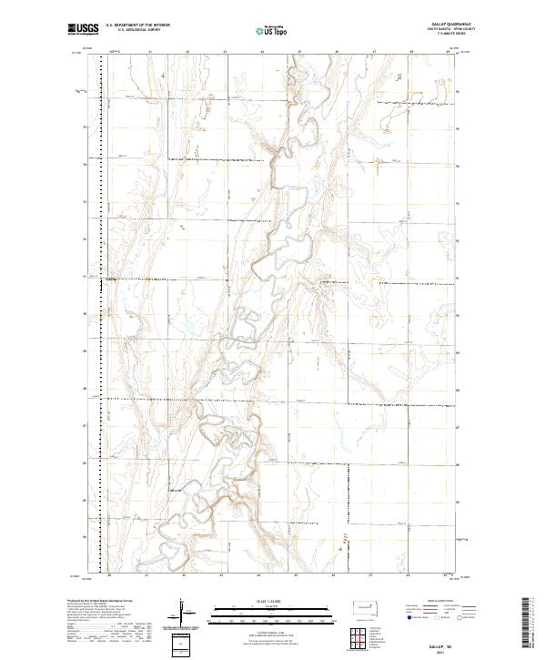
2021 Map of Gallup
USGS Topo · Published 2021About this map
The James River snakes through the heart of this Spink County landscape, carving a complex, meandering path across the glacial plains. The topography here is defined by this winding watercourse, which creates a distinct ribbon of wetlands and variable elevation against the otherwise orderly section lines of the Public Land Survey System. The small settlement of Gallup stands as a focal point in the western half of the quadrangle, situated along the intersection of 160th St and 387th Ave. This layout reflects the typical agricultural grid of South Dakota, where the rigid geometry of roads like 388th Ave and 158th St is only interrupted by the natural hydrologic flow of the river. The map provides a clear view of the rural infrastructure, including local routes like Co Rd 13 and Jefferson Dr, which connect the scattered farmsteads across townships t119n r64w, t119n r63w, t118n r64w, and t118n r63w.
Find a feature on this map
21 named features on this map. Tap any name to fly to it.
Don’t see what you’re looking for? This feature index may not catch every label — zoom into the map to look around manually.
Map Details
Editions of this 2021 Gallup Map
This is the sole edition of this map. No revisions or reprints were ever made.
Other maps of this area

1895 · Byron
USGS Topo · 1:125,000

1895 · Aberdeen
USGS Topo · 1:125,000

1899 · Northville
USGS Topo · 1:125,000

1899 · Redfield
USGS Topo · 1:125,000

1953 · Brentford
USGS Topo · 1:24,000

1953 · Frankfort
USGS Topo · 1:24,000

1953 · Redfield North
USGS Topo · 1:24,000

1953 · Gallup
USGS Topo · 1:24,000

1953 · Ashton
USGS Topo · 1:24,000

1953 · Huron
USGS Topo · 1:250,000