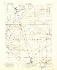
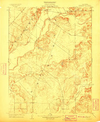
1910 Map of Galt
USGS Topo · Published 1947About this map
The Southern Pacific (Niles and Sacramento Line) bisects the landscape of the San Jon de los Moquelumnes land grant, serving as the primary corridor for movement between Sacramento and San Joaquin counties at the start of the twentieth century. The town of Galt dominates the southern portion of the sheet, showing a developed street grid and proximity to Dry Creek. To the north, smaller stops and agricultural hubs like Arno, Hicksville, and McConnell dot the rail line, reflecting a period when small rural centers were vital for local commerce. The winding path of the Cosumnes River and its tributary Laguna define the low-lying drainage patterns of the Central Valley. Social infrastructure is represented by the Arno School, a focal point for the surrounding farming community during this era of early California development.
Find a feature on this map
12 named features on this map. Tap any name to fly to it.
Don’t see what you’re looking for? This feature index may not catch every label — zoom into the map to look around manually.
Map Details
Editions of this 1910 Galt Map
2 editions found
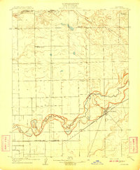
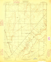
Other maps of this area

1894 · Lodi
USGS Topo · 1:125,000
1908 · Lockeford
USGS Topo · 1:31,680
1909 · Elk Grove
USGS Topo · 1:31,680
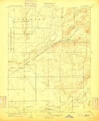
1909 · Clay
USGS Topo · 1:31,680
1909 · Cosumnes
USGS Topo · 1:31,680
1909 · Florin
USGS Topo · 1:31,680

1910 · New Hope
USGS Topo · 1:31,680

1910 · Woodbridge
USGS Topo · 1:31,680

1910 · Bruceville
USGS Topo · 1:31,680
1910 · Galt
USGS Topo · 1:31,680