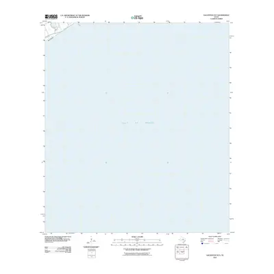
2010 Map of Galveston OE S
USGS Topo · Published 2010About this map
Gulf of Mexico waters dominate this coastal survey, which captures the thin southwestern edge of Galveston Island as it appeared in 2010. The shoreline is defined by the expanse of West Beach, a critical segment of the Texas coast that transitions from open sand into the developed infrastructure of the city. The infrastructure pattern is anchored by the terminus of Seawall Blvd, a historic protective barrier and thoroughfare that connects the urban core of Galveston to its more remote coastal stretches. Inland from the surf, the map shows the residential and recreational layout around Cove View Blvd, providing a clear look at the topographic footprint of this barrier island before subsequent seasonal shifts and storm cycles altered the landscape.
Find a feature on this map
4 named features on this map. Tap any name to fly to it.
Don’t see what you’re looking for? This feature index may not catch every label — zoom into the map to look around manually.
Map Details
Editions of this 2010 Galveston OE S Map
This is the sole edition of this map. No revisions or reprints were ever made.
Other maps of this area

1929 · Virginia Point
USGS Topo · 1:24,000

1930 · Galveston
USGS Topo · 1:24,000

1931 · Lake Como
USGS Topo · 1:24,000

1932 · Virginia Point
USGS Topo · 1:31,680

1933 · The Jetties
USGS Topo · 1:31,680
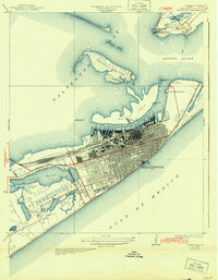
1933 · Galveston
USGS Topo · 1:31,680
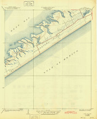
1933 · Lake Como
USGS Topo · 1:31,680
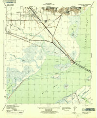
1943 · Virginia Point
USGS Topo · 1:25,000
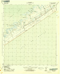
1943 · Lake Como
USGS Topo · 1:25,000
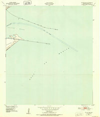
1943 · The Jetties
USGS Topo · 1:24,000