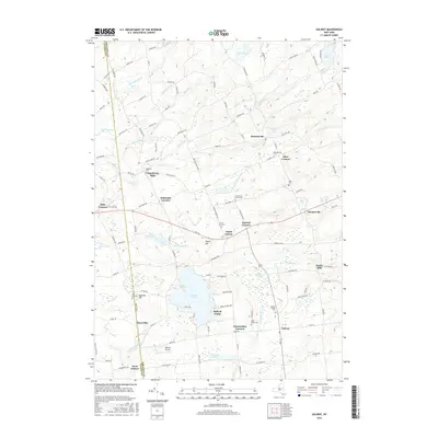
2016 Map of Galway
USGS Topo · Published 2016About this map
Galway Lake and its surrounding hill country define this part of the Saratoga and Fulton county line. The landscape is dotted with small, historically distinct communities such as Hagedorns Mills, Whiteside Corners, and Mosherville, reflecting a pattern of upland settlement that persisted long after the era of early water-powered industry at sites like Parkis Mills. Many of these hamlets are anchored by small cemeteries, including the Hagadorn Cem and Allen Cem, which offer significant touchpoints for genealogical research in this region.
Find a feature on this map
120 named features on this map. Tap any name to fly to it.
Don’t see what you’re looking for? This feature index may not catch every label — zoom into the map to look around manually.
Map Details
Editions of this 2016 Galway Map
This is the sole edition of this map. No revisions or reprints were ever made.
Other maps of this area

1893 · Schenectady
USGS Topo · 1:62,500

1895 · Schenectady
USGS Topo · 1:62,500

1895 · Amsterdam
USGS Topo · 1:62,500

1898 · Schenectady
USGS Topo · 1:62,500

1899 · Broadalbin
USGS Topo · 1:62,500

1902 · Broadalbin
USGS Topo · 1:62,500

1902 · Saratoga
USGS Topo · 1:62,500

1930 · Schenectady
USGS Topo · 1:62,500

1931 · Amsterdam
USGS Topo · 1:62,500

1935 · Middle Grove
USGS Topo · 1:24,000