
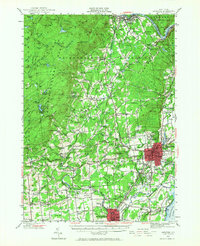
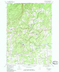
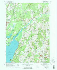
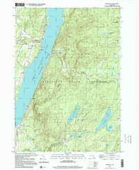
2023 Map of Galway
USGS Topo · Published 2023About this map
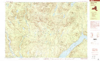
Galway Lake and its surrounding crossroads communities define this part of Saratoga County and the neighboring Fulton County border. The landscape is marked by a high density of rural cemeteries and historic hamlet identifiers like Barkersville, Mosherville, and Hagedorns Mills. These names reflect the early small-scale industrial and agricultural development of the region. The map shows a transition from the structured street plan of Galway to the scattered settlements of Whiteside Corners and Kimball Corners.
Find a feature on this map
128 named features on this map. Tap any name to fly to it.
Don’t see what you’re looking for? This feature index may not catch every label — zoom into the map to look around manually.
Map Details
Editions of this 2023 Galway Map
This is the sole edition of this map. No revisions or reprints were ever made.
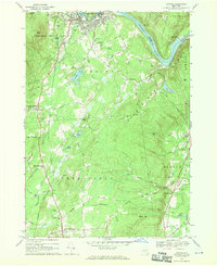
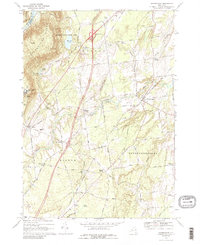
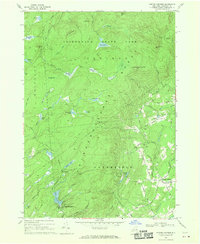
Historical Maps of Green Corners Through Time
38 maps found
1902 Saratoga
Saratoga County, NY

1934 Quaker Springs
Saratoga County, NY

1935 Corinth
Saratoga County, NY

1935 Gansevoort
Saratoga County, NY

1935 Middle Grove
Saratoga County, NY
1942 Saratoga
Saratoga County, NY

1945 Edinburg
Saratoga County, NY

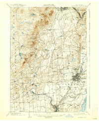
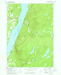
1945 Galway
Saratoga County, NY

1946 Edinburg
Saratoga County, NY
1947 Saratoga
Saratoga County, NY

1949 Saratoga
Saratoga County, NY
1954 Burnt Hills
Saratoga County, NY
1954 Niskayuna
Saratoga County, NY
1954 Troy North
Saratoga County, NY
1966 Conklingville
Saratoga County, NY
1967 Middle Grove
Saratoga County, NY
1967 Quaker Springs
Saratoga County, NY
1968 Corinth
Saratoga County, NY
1968 Gansevoort
Saratoga County, NY
1968 Porter Corners
Saratoga County, NY
1970 Edinburg
Saratoga County, NY
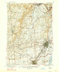
1970 Galway
Saratoga County, NY
1978 Troy North
Saratoga County, NY

1990 Hope Falls
Saratoga County, NY
1997 Edinburg
Saratoga County, NY
1999 Hope Falls
Saratoga County, NY

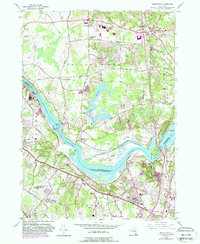
2023 Burnt Hills
Saratoga County, NY

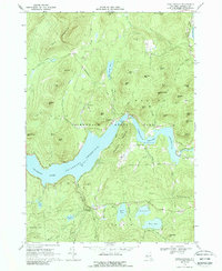
2023 Conklingville
Saratoga County, NY

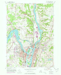
2023 Corinth
Saratoga County, NY

2023 Edinburg
Saratoga County, NY
2023 Galway
Saratoga County, NY

2023 Gansevoort
Saratoga County, NY

2023 Middle Grove
Saratoga County, NY

2023 Niskayuna
Saratoga County, NY

2023 Ohmer Mountain
Saratoga County, NY

2023 Porter Corners
Saratoga County, NY

2023 Quaker Springs
Saratoga County, NY

2023 Troy North
Saratoga County, NY