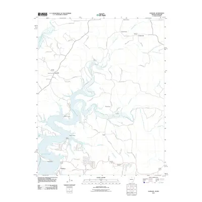
2011 Map of Gamaliel
USGS Topo · Published 2011About this map
Norfork Lake dominates this landscape, its dendritic shoreline winding through the Ozark borderlands where Arkansas and Missouri meet. The irregular arms of the reservoir submerge old valley floors, leaving former high points like Turkey Knob and ridges overlooking the water. Small settlements and landings serve as focal points for the community, including the village of Gamaliel, which remains a key hub with its Gamaliel Post Office and nearby Gamaliel Cemetery.
Find a feature on this map
86 named features on this map. Tap any name to fly to it.
Don’t see what you’re looking for? This feature index may not catch every label — zoom into the map to look around manually.
Map Details
Editions of this 2011 Gamaliel Map
This is the sole edition of this map. No revisions or reprints were ever made.
Other maps of this area

1890 · Mountain Home
USGS Topo · 1:125,000

1891 · Mountain Home
USGS Topo · 1:125,000

1894 · Mountain Home
USGS Topo · 1:125,000

1934 · Gainesville
USGS Topo · 1:48,000

1940 · Gainesville
USGS Topo · 1:62,500

1944 · Cureall
USGS Topo · 1:62,500

1945 · Harrison
USGS Topo · 1:250,000

1946 · Cureall
USGS Topo · 1:62,500

1949 · Harrison
USGS Topo · 1:250,000

1954 · Harrison
USGS Topo · 1:250,000