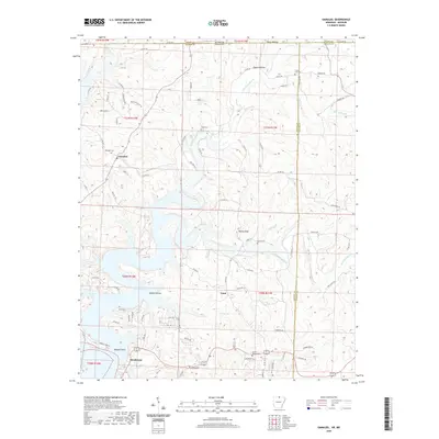
2020 Map of Gamaliel
USGS Topo · Published 2020About this map
Norfork Lake defines the southwestern portion of this landscape, its winding fingers reaching into Walker Hollow and Howard Cove. This area of the Ozarks is marked by a network of drainage systems, including the prominent Bennetts Bayou and Bennetts River, which cut through the high ground surrounding Turkey Knob. The settlement of Gamaliel sits at a central crossroads, while Henderson and Cumi represent localized hubs within this rural environment.
Find a feature on this map
94 named features on this map. Tap any name to fly to it.
Don’t see what you’re looking for? This feature index may not catch every label — zoom into the map to look around manually.
Map Details
Editions of this 2020 Gamaliel Map
This is the sole edition of this map. No revisions or reprints were ever made.
Other maps of this area

1890 · Mountain Home
USGS Topo · 1:125,000

1891 · Mountain Home
USGS Topo · 1:125,000

1894 · Mountain Home
USGS Topo · 1:125,000

1934 · Gainesville
USGS Topo · 1:48,000

1940 · Gainesville
USGS Topo · 1:62,500

1944 · Cureall
USGS Topo · 1:62,500

1945 · Harrison
USGS Topo · 1:250,000

1946 · Cureall
USGS Topo · 1:62,500

1949 · Harrison
USGS Topo · 1:250,000

1954 · Harrison
USGS Topo · 1:250,000