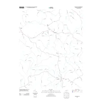
2013 Map of Gamaliel
USGS Topo · Published 2013About this map
Gamaliel anchors the southern portion of this Monroe County landscape, where the road network radiates outward toward smaller communities like Freetown and Emberton. The terrain is defined by the winding course of the Barren River and its numerous tributaries, including the E Fork Barren River and Indian Cr. This map reveals a high density of family-named roads, such as Ray Emmert Rd and Will Brooks Rd, reflecting the deep-rooted agricultural heritage of this part of Kentucky. Local history and genealogy are further documented through the locations of the Mt Vernon Cem, Belcher Cem, and Neal Cem. The settlement at Gum Tree sits at a central crossroads, while Flippin marks the western edge of the documented area, showing the distribution of rural commerce and community hubs during the early 21st century.
Find a feature on this map
112 named features on this map. Tap any name to fly to it.
Don’t see what you’re looking for? This feature index may not catch every label — zoom into the map to look around manually.
Map Details
Editions of this 2013 Gamaliel Map
This is the sole edition of this map. No revisions or reprints were ever made.
Other maps of this area

1929 · Tompkinsville
USGS Topo · 1:62,500

1931 · Red Boiling Springs
USGS Topo · 1:62,500

1953 · Tracy
USGS Topo · 1:24,000

1953 · Sulphur Lick
USGS Topo · 1:24,000

1953 · Freedom
USGS Topo · 1:24,000

1954 · Fountain Run
USGS Topo · 1:24,000

1954 · Gamaliel
USGS Topo · 1:24,000

1954 · Tompkinsville
USGS Topo · 1:24,000

1956 · Corbin
USGS Topo · 1:250,000

1958 · Corbin
USGS Topo · 1:250,000