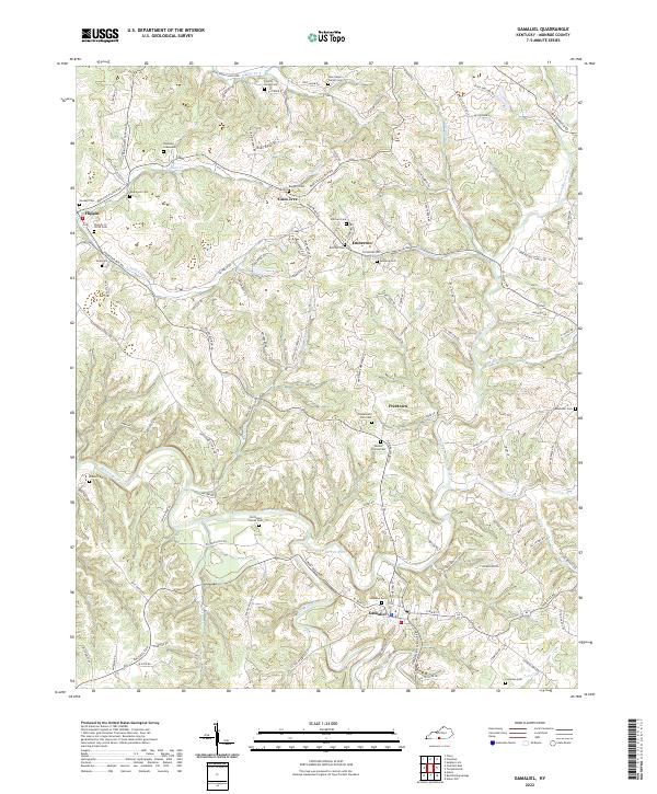
2022 Map of Gamaliel
USGS Topo · Published 2022About this map
Gamaliel anchors this section of Monroe County, situated where Line Creek and several rural roads converge in the southern reaches of the quadrangle. The landscape is defined by the winding course of the East Fork Barren River, which snakes through the center and western portions of the area, joined by numerous tributaries such as Indian Cr and Sugar Cr. The settlement pattern reflects a deeply rooted rural history, with small communities like Flippin, Gum Tree, and Emberton connected by a web of local routes including Mud Lick Flippin Rd and Old Glasgow Rd.
Find a feature on this map
123 named features on this map. Tap any name to fly to it.
Don’t see what you’re looking for? This feature index may not catch every label — zoom into the map to look around manually.
Map Details
Editions of this 2022 Gamaliel Map
This is the sole edition of this map. No revisions or reprints were ever made.
Other maps of this area

1929 · Tompkinsville
USGS Topo · 1:62,500

1931 · Red Boiling Springs
USGS Topo · 1:62,500

1953 · Tracy
USGS Topo · 1:24,000

1953 · Sulphur Lick
USGS Topo · 1:24,000

1953 · Freedom
USGS Topo · 1:24,000

1954 · Fountain Run
USGS Topo · 1:24,000

1954 · Gamaliel
USGS Topo · 1:24,000

1954 · Tompkinsville
USGS Topo · 1:24,000

1956 · Corbin
USGS Topo · 1:250,000

1958 · Corbin
USGS Topo · 1:250,000