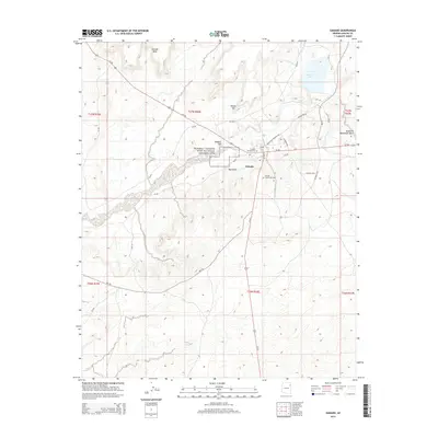
2014 Map of Ganado
USGS Topo · Published 2014About this map
The Hubbell Trading Post National Historic Site serves as a central landmark in this 2014 survey of the Navajo Nation, preserving the legacy of 19th-century commerce in the high desert. Adjacent to the settlement of Ganado, the map reveals a landscape defined by dramatic geological features including Ganado Mesa, Hubbell Hill, and Red Point. This modern topographic study illustrates the continued importance of historical sites and local infrastructure, such as the Ganado Mission Cem and Ganado Community Cem. Water management is represented by Ganado Lake in the northeast, while the drainage of Naakai-N Daachaahi Wash highlights the natural hydrology of the region. The network of Bureau of Indian Affairs routes like Bia-9201 and state highways such as Az-264 provides a detailed view of how transportation lines follow the local terrain around Round Top.
Find a feature on this map
31 named features on this map. Tap any name to fly to it.
Don’t see what you’re looking for? This feature index may not catch every label — zoom into the map to look around manually.
Map Details
Editions of this 2014 Ganado Map
This is the sole edition of this map. No revisions or reprints were ever made.
Other maps of this area
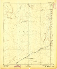
1886 · Fort Defiance
USGS Topo · 1:250,000
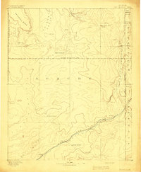
1892 · Fort Defiance
USGS Topo · 1:250,000

1954 · Gallup
USGS Topo · 1:250,000
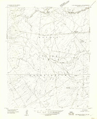
1955 · Zith-Tusayan Butte 3 NW
USGS Topo · 1:24,000
1955 · Zith-Tusayan Butte 2 SW
USGS Topo · 1:24,000
1955 · Nazlini
USGS Topo · 1:62,500

1958 · Gallup
USGS Topo · 1:250,000

1959 · Gallup
USGS Topo · 1:250,000
1962 · Gallup
USGS Topo · 1:250,000
1967 · Gallup
USGS Topo · 1:250,000
Featured Places
- Fort Defiance Agency
- Ganado, Fort Defiance Agency
- Nátʼohchǫʼí, Fort Defiance Agency
- Apache County, AZ
- United States