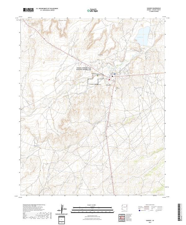
2021 Map of Ganado
USGS Topo · Published 2021About this map
The Hubbell Trading Post National Historic Site serves as the focal point of this high-desert landscape in the heart of the Navajo Nation. Located just west of Ganado, this site represents the preservation of a pivotal commercial and social hub that linked the Diné people with the wider world. The settlement itself is anchored by local institutions such as the Ganado Mission and the GUSD Primary School, while the Ganado Community Cem and an additional Cem near the mission provide significant data for genealogical research.
Find a feature on this map
29 named features on this map. Tap any name to fly to it.
Don’t see what you’re looking for? This feature index may not catch every label — zoom into the map to look around manually.
Map Details
Editions of this 2021 Ganado Map
This is the sole edition of this map. No revisions or reprints were ever made.
Other maps of this area

1886 · Fort Defiance
USGS Topo · 1:250,000

1892 · Fort Defiance
USGS Topo · 1:250,000

1954 · Gallup
USGS Topo · 1:250,000

1955 · Zith-Tusayan Butte 3 NW
USGS Topo · 1:24,000

1955 · Zith-Tusayan Butte 2 SW
USGS Topo · 1:24,000
1955 · Nazlini
USGS Topo · 1:62,500

1958 · Gallup
USGS Topo · 1:250,000

1959 · Gallup
USGS Topo · 1:250,000

1962 · Gallup
USGS Topo · 1:250,000

1967 · Gallup
USGS Topo · 1:250,000
Featured Places
- Fort Defiance Agency
- Ganado, Fort Defiance Agency
- Nátʼohchǫʼí, Fort Defiance Agency
- Apache County, AZ
- United States