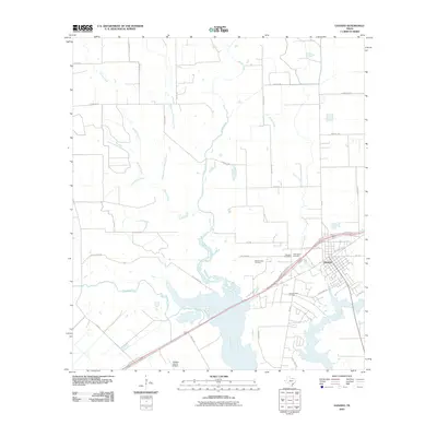
2010 Map of Ganado
USGS Topo · Published 2010About this map
The Navidad River and its numerous tributaries, including Sandy Creek, Brushy Creek, and Mustang Creek, define the coastal prairie landscape of Jackson County. In the early 21st century, the town of Ganado serves as the primary hub, where transportation routes like US Hwy 59 Bus and the Highway 59 Spur Rd converge. This survey documents the area's dual reliance on ranching and the petroleum industry, evidenced by the presence of the Sandy Creek Oil Field and the Ganado West Oil Field south of the city center.
Find a feature on this map
38 named features on this map. Tap any name to fly to it.
Don’t see what you’re looking for? This feature index may not catch every label — zoom into the map to look around manually.
Map Details
Editions of this 2010 Ganado Map
This is the sole edition of this map. No revisions or reprints were ever made.
Other maps of this area

1952 · Francitas NW
USGS Topo · 1:24,000

1952 · Manson
USGS Topo · 1:24,000

1952 · Edna
USGS Topo · 1:24,000

1953 · Beeville
USGS Topo · 1:250,000

1953 · Seguin
USGS Topo · 1:250,000

1956 · Beeville
USGS Topo · 1:250,000

1958 · Seguin
USGS Topo · 1:250,000

1960 · Beeville
USGS Topo · 1:250,000

1963 · Ganado
USGS Topo · 1:24,000

1963 · Mount Olive
USGS Topo · 1:24,000