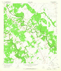
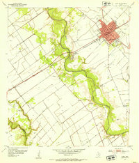
1963 Map of Mount Olive
USGS Topo · Published 1965About this map
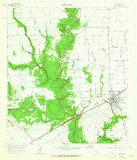
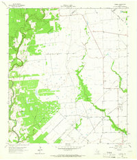
The Navidad River and Lavaca River dominate this Jackson County landscape, their winding courses carving through a region defined by mid-century energy extraction and rural family heritage. The area is heavily marked by the Morales Gas Field and Cordele Oil Field, where a dense network of pipelines, oil wells, and gas wells punctuates the terrain between the river bottoms.
Find a feature on this map
44 named features on this map. Tap any name to fly to it.
Don’t see what you’re looking for? This feature index may not catch every label — zoom into the map to look around manually.
Map Details
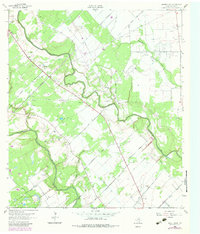
Editions of this 1963 Mount Olive Map
2 editions found
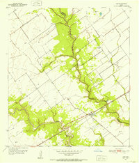
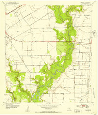
Other maps of this area
1951 · Inez
USGS Topo · 1:24,000
1952 · Manson
USGS Topo · 1:24,000
1952 · Edna
USGS Topo · 1:24,000

1953 · Beeville
USGS Topo · 1:250,000

1953 · Seguin
USGS Topo · 1:250,000

1956 · Beeville
USGS Topo · 1:250,000

1958 · Seguin
USGS Topo · 1:250,000

1960 · Beeville
USGS Topo · 1:250,000
1963 · Ganado
USGS Topo · 1:24,000
1964 · Cordele
USGS Topo · 1:24,000