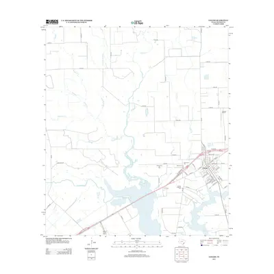
2013 Map of Ganado
USGS Topo · Published 2013About this map
Ganado sits at the junction of rail and road infrastructure, surrounded by a landscape defined by the drainage systems of the Navidad River and the northern reaches of Lake Texana. The town's layout reflects its development as a regional hub, with prominent local landmarks including Assumption Cem and Ganado Cem situated along the northern approaches. The rural outskirts are characterized by extensive watercourse networks, such as Sandy Cr and Brushy Cr, which cut through the coastal prairie. Economic activity is evidenced by the Sandy Creek Oil Field and Ganado West Oil Field, highlighting the area's legacy of energy production. Regional connectivity is further emphasized by the presence of both the Jackson County Airport and the private Calaway Airport, serving the agricultural and industrial needs of this Jackson County corridor during the early 21st century.
Find a feature on this map
75 named features on this map. Tap any name to fly to it.
Don’t see what you’re looking for? This feature index may not catch every label — zoom into the map to look around manually.
Map Details
Editions of this 2013 Ganado Map
This is the sole edition of this map. No revisions or reprints were ever made.
Other maps of this area
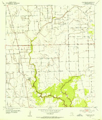
1952 · Francitas NW
USGS Topo · 1:24,000
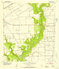
1952 · Manson
USGS Topo · 1:24,000
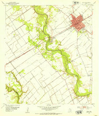
1952 · Edna
USGS Topo · 1:24,000

1953 · Beeville
USGS Topo · 1:250,000

1953 · Seguin
USGS Topo · 1:250,000

1956 · Beeville
USGS Topo · 1:250,000

1958 · Seguin
USGS Topo · 1:250,000

1960 · Beeville
USGS Topo · 1:250,000
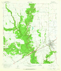
1963 · Ganado
USGS Topo · 1:24,000
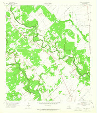
1963 · Mount Olive
USGS Topo · 1:24,000