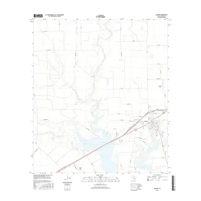
2016 Map of Ganado
USGS Topo · Published 2016About this map
The town of Ganado serves as the focal point of this Jackson County survey, situated where the coastal prairie meets the waters of the Navidad River. The landscape is defined by the expansive Lake Texana, which dominates the southern portion of the quadrangle. Several significant tributaries, including Sandy Creek, Brushy Cr, and Devers Cr, carve through the surrounding agricultural lands, creating a network of riparian corridors. Local history is preserved in the presence of the Ganado Cem and Assumption Cem, located near the town center. Aviation infrastructure is well-represented by both the Jackson County Airport and the smaller Calaway Airport to the east. The town's grid is detailed with street names such as Mauritz Ave and Roger St E, illustrating the community's layout in the mid-2010s. This survey effectively documents the intersection of rural transit routes like Cordele RD with the hydrological features that shape this portion of Southeast Texas.
Find a feature on this map
67 named features on this map. Tap any name to fly to it.
Don’t see what you’re looking for? This feature index may not catch every label — zoom into the map to look around manually.
Map Details
Editions of this 2016 Ganado Map
This is the sole edition of this map. No revisions or reprints were ever made.
Other maps of this area
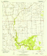
1952 · Francitas NW
USGS Topo · 1:24,000
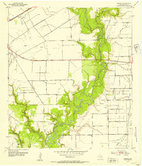
1952 · Manson
USGS Topo · 1:24,000
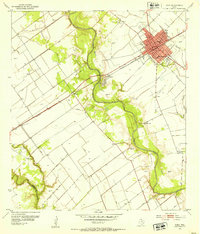
1952 · Edna
USGS Topo · 1:24,000

1953 · Beeville
USGS Topo · 1:250,000

1953 · Seguin
USGS Topo · 1:250,000

1956 · Beeville
USGS Topo · 1:250,000

1958 · Seguin
USGS Topo · 1:250,000

1960 · Beeville
USGS Topo · 1:250,000
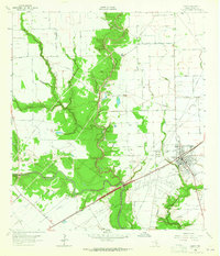
1963 · Ganado
USGS Topo · 1:24,000
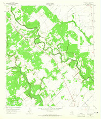
1963 · Mount Olive
USGS Topo · 1:24,000