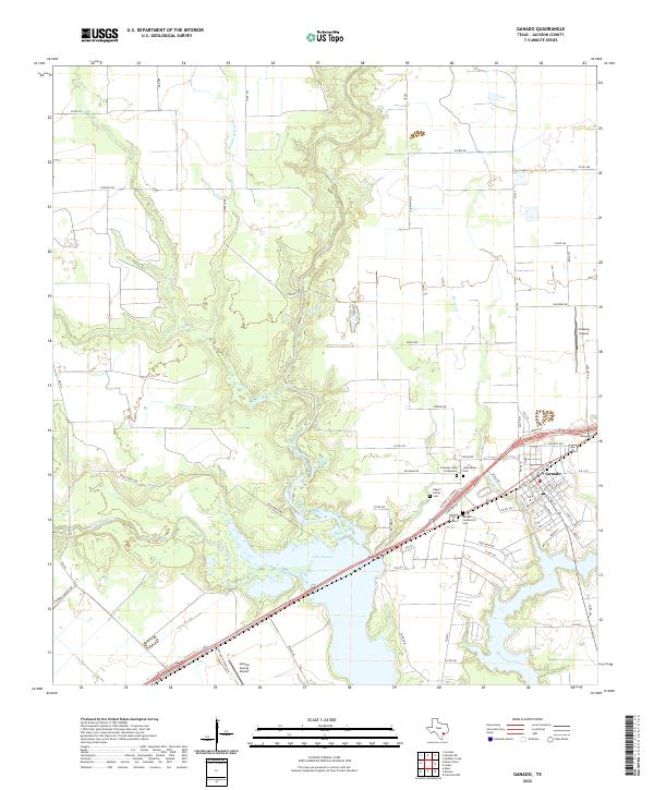
2022 Map of Ganado
USGS Topo · Published 2022About this map
Lake Texana and the Navidad River dominate the landscape southwest of the town of Ganado, where coastal plains are etched by a complex drainage network. The town's grid is detailed down to residential streets like Menefee St and Mc Farland Ave, reflecting the community's modern layout and its proximity to major transit routes. Multiple cemeteries, including the Granado Cem Protestant, Assumption Cem, and Ganado Community Cem, are clustered near the settlement, providing vital points of interest for genealogical research in Jackson County.
Find a feature on this map
69 named features on this map. Tap any name to fly to it.
Don’t see what you’re looking for? This feature index may not catch every label — zoom into the map to look around manually.
Map Details
Editions of this 2022 Ganado Map
This is the sole edition of this map. No revisions or reprints were ever made.
Other maps of this area

1952 · Francitas NW
USGS Topo · 1:24,000

1952 · Manson
USGS Topo · 1:24,000

1952 · Edna
USGS Topo · 1:24,000

1953 · Beeville
USGS Topo · 1:250,000

1953 · Seguin
USGS Topo · 1:250,000

1956 · Beeville
USGS Topo · 1:250,000

1958 · Seguin
USGS Topo · 1:250,000

1960 · Beeville
USGS Topo · 1:250,000

1963 · Ganado
USGS Topo · 1:24,000

1963 · Mount Olive
USGS Topo · 1:24,000