
1960 Map of Garden City 3 SE
USGS Topo · Published 1961About this map
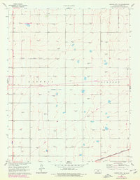
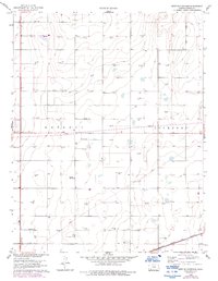
The High Plains of Haskell County come into focus through the industrial and infrastructure markers of the early 1960s. This landscape is defined by the energy economy, with numerous Gas Well sites and Oil Wells scattered across the township grid of Haskell and Lockport. The terrain is sparsely populated, yet the presence of the Haskell Cem and the Atchison Topeka and Santa Fe railroad in the southern corner highlights the essential connections for this rural community. A particularly interesting relic of early water management is the Abandoned Canal cutting through the center of the sheet, reflecting former attempts to irrigate the semi-arid Kansas prairie before modern methods took hold. Local historians can trace the transition from early surface water engineering to the subsurface extraction era that dominated the mid-century period.
Find a feature on this map
6 named features on this map. Tap any name to fly to it.
Don’t see what you’re looking for? This feature index may not catch every label — zoom into the map to look around manually.
Map Details
Editions of this 1960 Garden City 3 SE Map
3 editions found
Other maps of this area

1896 · Garden
USGS Topo · 1:125,000

1955 · Dodge City
USGS Topo · 1:250,000

1958 · Dodge City
USGS Topo · 1:250,000

1959 · Dodge City
USGS Topo · 1:250,000

1959 · Garden City 3 NW
USGS Topo · 1:24,000

1959 · Garden City 3 NE
USGS Topo · 1:24,000

1960 · Garden City 3 SW
USGS Topo · 1:24,000

1968 · Plains NW
USGS Topo · 1:24,000
1968 · Satanta
USGS Topo · 1:24,000
1968 · Sublette
USGS Topo · 1:24,000