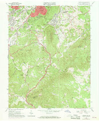
1963 Map of Garden City
USGS Topo · Published 1969About this map
The city of Roanoke and its southern suburbs transition into the high peaks of the Blue Ridge in this mid-century topographic record. The industrial and residential expansion of the early 1960s is evident in the developed street grids of Garden City and the institutional landscape of the Roanoke Technical Institute. As the terrain rises toward Mill Mountain and Roanoke Mountain, the urban footprint yields to the sweeping curves of the Blue Ridge Parkway.
Find a feature on this map
75 named features on this map. Tap any name to fly to it.
Don’t see what you’re looking for? This feature index may not catch every label — zoom into the map to look around manually.
Map Details
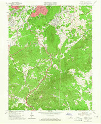
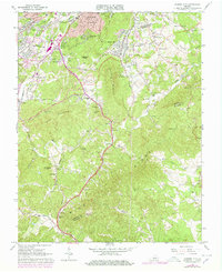
Editions of this 1963 Garden City Map
Other maps of this area

1890 · Roanoke
USGS Topo · 1:125,000

1890 · Christiansburg
USGS Topo · 1:125,000

1891 · Roanoke
USGS Topo · 1:125,000

1929 · Roanoke
USGS Topo · 1:48,000

1929 · Salem
USGS Topo · 1:48,000

1932 · Salem
USGS Topo · 1:62,500

1933 · Roanoke
USGS Topo · 1:62,500

1947 · Roanoke
USGS Topo · 1:250,000

1950 · Elliston
USGS Topo · 1:62,500

1951 · Boones Mill
USGS Topo · 1:62,500