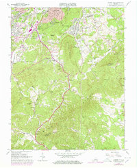
1963 Map of Garden City
USGS Topo · Published 1978About this map
Roanoke and its southern suburbs meet the rising slopes of the Blue Ridge in this survey, which documents a landscape caught between mid-century growth and its rural mountain roots. The urbanized edges of Garden City and Cave Spring give way to the more isolated communities of Starkey and Clearbrook. Notable institutional landmarks include the Roanoke Technical Institute and the Rehabilitation Center, while local leisure is represented by a Golf Course and a Drive-in Theater near Stone Mtn.
Find a feature on this map
72 named features on this map. Tap any name to fly to it.
Don’t see what you’re looking for? This feature index may not catch every label — zoom into the map to look around manually.
Map Details
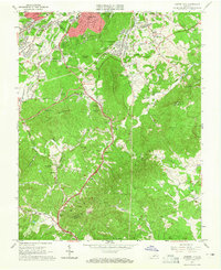
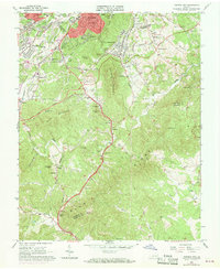
Editions of this 1963 Garden City Map
Other maps of this area

1890 · Roanoke
USGS Topo · 1:125,000

1890 · Christiansburg
USGS Topo · 1:125,000

1891 · Roanoke
USGS Topo · 1:125,000

1929 · Roanoke
USGS Topo · 1:48,000

1929 · Salem
USGS Topo · 1:48,000

1932 · Salem
USGS Topo · 1:62,500

1933 · Roanoke
USGS Topo · 1:62,500

1947 · Roanoke
USGS Topo · 1:250,000

1950 · Elliston
USGS Topo · 1:62,500

1951 · Boones Mill
USGS Topo · 1:62,500