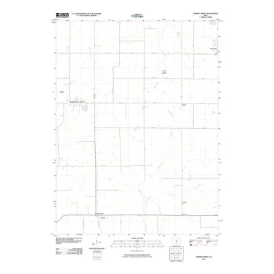
2010 Map of Garden Grove
USGS Topo · Published 2010About this map
Garden Grove and Humeston anchor this rural landscape in Southern Iowa, where the 2010 terrain is defined by the winding course of the Chariton River and its tributaries. The map documents a deeply rooted agricultural community through its numerous burial grounds, including the Morman Cemetery and Green Bay Cemetery, which serve as vital markers for local genealogy. The presence of the Garden Grove Post Office and small clusters at High Point and Lewisburgh illustrate the persistence of these historic hamlets. In addition to natural features like Steel Creek and Hunter Creek, the map shows modern infrastructure such as the Watkins Private Airport and the Humeston Reservoir. The road network, featuring names like Popcorn Rd and Raccoon, weaves through the township grid, providing a clear record of the area's development before further contemporary changes.
Find a feature on this map
30 named features on this map. Tap any name to fly to it.
Don’t see what you’re looking for? This feature index may not catch every label — zoom into the map to look around manually.
Map Details
Editions of this 2010 Garden Grove Map
This is the sole edition of this map. No revisions or reprints were ever made.
Other maps of this area

1934 · Humeston
USGS Topo · 1:48,000

1937 · Corydon
USGS Topo · 1:62,500

1954 · Centerville
USGS Topo · 1:250,000

1957 · Centerville
USGS Topo · 1:250,000

1958 · Centerville
USGS Topo · 1:250,000

1964 · Woodland
USGS Topo · 1:24,000

1964 · Leon
USGS Topo · 1:24,000

1964 · Clio
USGS Topo · 1:24,000

1965 · Weldon
USGS Topo · 1:24,000

1965 · Garden Grove SW
USGS Topo · 1:24,000