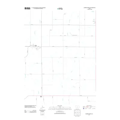
2013 Map of Garden Grove
USGS Topo · Published 2013About this map
Garden Grove serves as the primary settlement on this landscape, its town grid marked by local thoroughfares like Bank St, Tiffin St, and Railroad St. The area's heritage as a transit corridor is evident in the path of Mormon Trail Rd and the presence of Mormon Pool to the north. This prairie landscape is defined by its drainage systems, where the Chariton River and Weldon River flow through agricultural tracts alongside numerous smaller tributaries like Steel Cr and Hunter Cr. Smaller crossroads like High Point and Lewisburgh anchor the southern reaches of the map, while the far northeast corner is touched by the Humeston Reservoir. The inclusion of Watkins Private Airport reflects the continued integration of private aviation into the rural Iowa economy during the early 21st century.
Find a feature on this map
51 named features on this map. Tap any name to fly to it.
Don’t see what you’re looking for? This feature index may not catch every label — zoom into the map to look around manually.
Map Details
Editions of this 2013 Garden Grove Map
This is the sole edition of this map. No revisions or reprints were ever made.
Other maps of this area

1934 · Humeston
USGS Topo · 1:48,000

1937 · Corydon
USGS Topo · 1:62,500

1954 · Centerville
USGS Topo · 1:250,000

1957 · Centerville
USGS Topo · 1:250,000

1958 · Centerville
USGS Topo · 1:250,000

1964 · Woodland
USGS Topo · 1:24,000

1964 · Leon
USGS Topo · 1:24,000

1964 · Clio
USGS Topo · 1:24,000

1965 · Weldon
USGS Topo · 1:24,000

1965 · Garden Grove SW
USGS Topo · 1:24,000