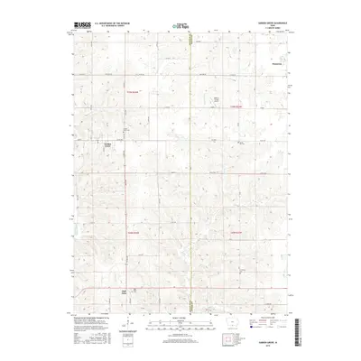
2015 Map of Garden Grove
USGS Topo · Published 2015About this map
Garden Grove and Humeston anchor this southern Iowa landscape where the borders of Decatur and Wayne counties meet. The terrain is defined by a dense network of waterways, including the Chariton River, Weldon River, and Mormon Pool, which have historically shaped the drainage and agricultural patterns of the region. Local genealogy is well-documented through several established burial grounds, such as Garden Grove Cem, Green Bay Cem, and Lewisburg Cem, reflecting the early pioneer settlements that established these small communities. The road system is particularly interesting for its local character, featuring uniquely named routes like Popcorn Rd and Raccoon near the Watkins Private Airport. Further south, the settlement of High Point and its associated High Point Cem mark the high ground between Turkey Run and Hunter Cr, providing a clear view of how early homesteads were positioned relative to the local timber and water sources.
Find a feature on this map
29 named features on this map. Tap any name to fly to it.
Don’t see what you’re looking for? This feature index may not catch every label — zoom into the map to look around manually.
Map Details
Editions of this 2015 Garden Grove Map
This is the sole edition of this map. No revisions or reprints were ever made.
Other maps of this area

1934 · Humeston
USGS Topo · 1:48,000

1937 · Corydon
USGS Topo · 1:62,500

1954 · Centerville
USGS Topo · 1:250,000

1957 · Centerville
USGS Topo · 1:250,000

1958 · Centerville
USGS Topo · 1:250,000

1964 · Woodland
USGS Topo · 1:24,000

1964 · Leon
USGS Topo · 1:24,000

1964 · Clio
USGS Topo · 1:24,000

1965 · Weldon
USGS Topo · 1:24,000

1965 · Garden Grove SW
USGS Topo · 1:24,000