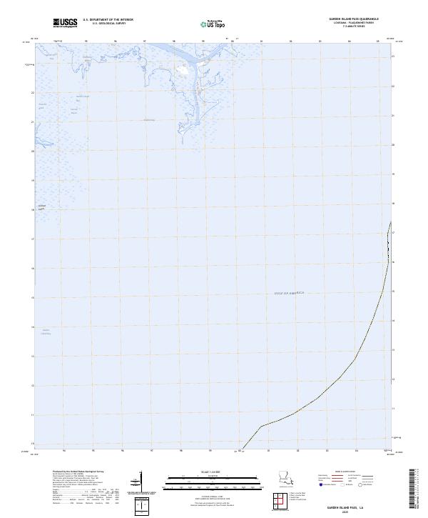
2025 Map of Garden Island Pass
USGS Topo · Published 2025About this map
Old Balize Bayou and the surrounding marshlands of Plaquemines Parish represent the final, shifting fingers of the Mississippi River delta as it reaches the Gulf of America. This 2025 survey documents the ephemeral nature of the Louisiana shoreline, where deep-water channels like Southeast Pass and Mississippi Bayou carve through a landscape of shallow bays and small landforms. Historical maritime researchers will find the location of Garden Island Pass and Lookout Island critical for understanding the evolving navigation routes into the Gulf. The map illustrates a world defined by hydrology, from the sheltered waters of North Shore Bay to the exposed reaches of Redfish Bay and Garden Island Bay, showing a coastal environment in constant flux.
Find a feature on this map
11 named features on this map. Tap any name to fly to it.
Don’t see what you’re looking for? This feature index may not catch every label — zoom into the map to look around manually.
Map Details
Editions of this 2025 Garden Island Pass Map
This is the sole edition of this map. No revisions or reprints were ever made.
Other maps of this area

1893 · East Delta
USGS Topo · 1:62,500

1935 · Garden Island Pass
USGS Topo · 1:31,680

1935 · South Pass
USGS Topo · 1:31,680

1947 · Garden Island Pass
USGS Topo · 1:31,680

1947 · Pass A Loutre West
USGS Topo · 1:31,680

1947 · Pass A Loutre East
USGS Topo · 1:31,680
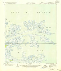
1954 · Pass A Loutre East
USGS Topo · 1:31,680
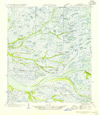
1954 · Pass A Loutre West
USGS Topo · 1:31,680
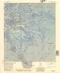
1954 · East Delta
USGS Topo · 1:62,500

1957 · Breton Sound
USGS Topo · 1:250,000